Robinsons Otis, Manila
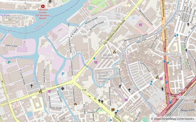
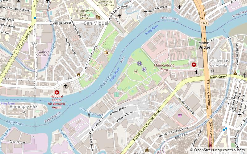
Map
Facts and practical information
The Otis Bridge is a six-lane girder bridge crossing the Estero de Concordia, a tributary of the Pasig River, in Manila, the Philippines. Built in 1968 and carrying Paz Mendoza Guazon Street, formerly known as Otis Street, the bridge is a major artery for commercial vehicles carrying cargo from the Port of Manila, with some 10,000 trucks crossing the bridge daily. ()
Coordinates: 14°35'14"N, 120°59'46"E
Getting there by public transportation
Public transportation stops near this location
- Metro
- Bus
- Light rail
- Train
- Ferry
 Metro
Metro
- Calculate routeQuirino Extension 9 min walk
- Calculate routeBagong Barangay 9 min walk
- Calculate routeZamora-Quirino 11 min walk
- Calculate routeLabores 13 min walk
- Calculate routePaco 16 min walk
- Calculate routePandacan 23 min walk
- Calculate routeSan Andres 26 min walk
- Calculate routeSanta Mesa 35 min walk
- Calculate routeUnited Nations 22 min walk
- Calculate routePedro Gil 24 min walk
- Calculate routeCentral Terminal 27 min walk
- Calculate routeQuirino 31 min walk
- Calculate routeLegarda 25 min walk
- Calculate routePureza 30 min walk
- Calculate routeRecto 36 min walk
- Calculate routeSanta Ana 29 min walk
- Calculate routeLawton 30 min walk
- Calculate routePup 30 min walk
Day trips


Frequently Asked Questions (FAQ)
Which popular attractions are close to Robinsons Otis?
Nearby attractions include Ayala Bridge, Manila (9 min walk), Bahay ng Pagbabago, Manila (11 min walk), Asilo de San Vicente de Paul, Manila (11 min walk), San Miguel Church, Manila (12 min walk).
How to get to Robinsons Otis by public transport?
The nearest stations to Robinsons Otis:
Bus
Train
Light rail
Metro
Ferry
Bus
- Quirino Extension • Lines: 301 (9 min walk)
- Bagong Barangay • Lines: 301 (9 min walk)
Train
- Paco (16 min walk)
- Pandacan (23 min walk)
Light rail
- United Nations • Lines: 1 (22 min walk)
- Pedro Gil • Lines: 1 (24 min walk)
Metro
- Legarda • Lines: 2 (25 min walk)
- Pureza • Lines: 2 (30 min walk)
Ferry
- Santa Ana • Lines: Pasig River Ferry (29 min walk)
- Lawton • Lines: Pasig River Ferry (30 min walk)