Harrison Plaza, Manila
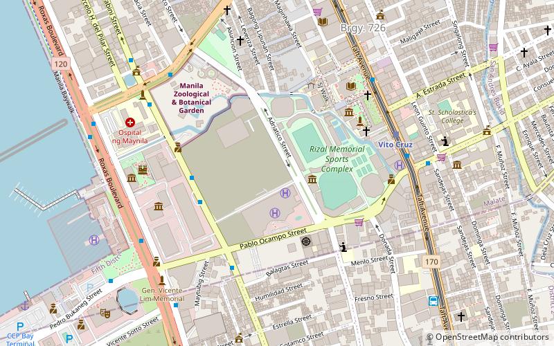
Map

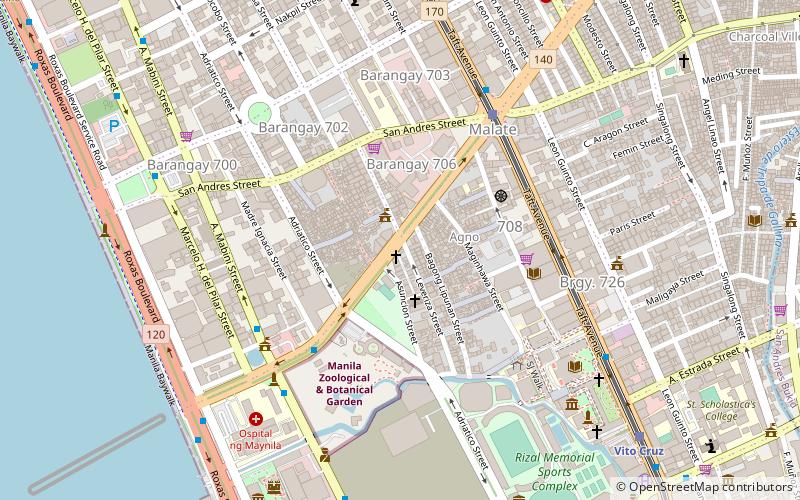
Map

Facts and practical information
Harrison Plaza was a shopping mall situated along Harrison Avenue corner Pablo Ocampo Street in the district of Malate in Manila, Philippines. Opened in 1976 and closed in 2019, it was the first modern and major shopping mall located in the area. The shopping mall building has been demolished to give way for a redevelopment of the site into residential building complex with a shopping center by SM Prime Holdings. ()
Coordinates: 14°33'45"N, 120°59'28"E
Day trips
Harrison Plaza – popular in the area (distance from the attraction)
Nearby attractions include: Star City, Manila Zoo, Metropolitan Museum of Manila, Jesus Is Lord Church Worldwide.
Frequently Asked Questions (FAQ)
Which popular attractions are close to Harrison Plaza?
Nearby attractions include Rizal Memorial Sports Complex, Manila (2 min walk), Chapel of the Most Blessed Sacrament, Manila (6 min walk), De La Salle University, Manila (6 min walk), Taft Avenue, Manila (6 min walk).
How to get to Harrison Plaza by public transport?
The nearest stations to Harrison Plaza:
Bus
Light rail
Train
Bus
- Harrison Plaza • Lines: 312, T378 (5 min walk)
- Vito Cruz • Lines: 17, 312, 39, 6, T3138, T378 (7 min walk)
Light rail
- Vito Cruz • Lines: 1 (7 min walk)
- Quirino • Lines: 1 (14 min walk)
Train
- Vito Cruz (22 min walk)
- San Andres (24 min walk)


