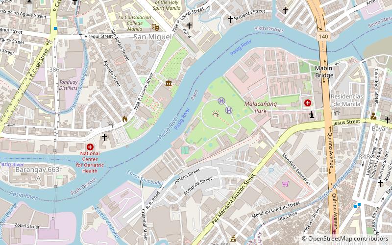
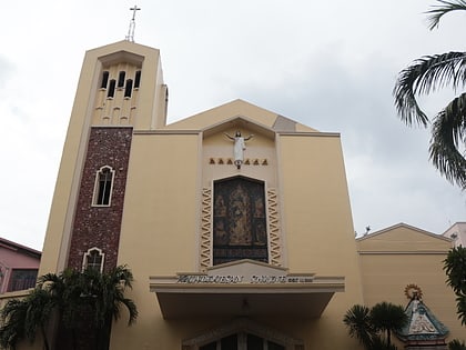
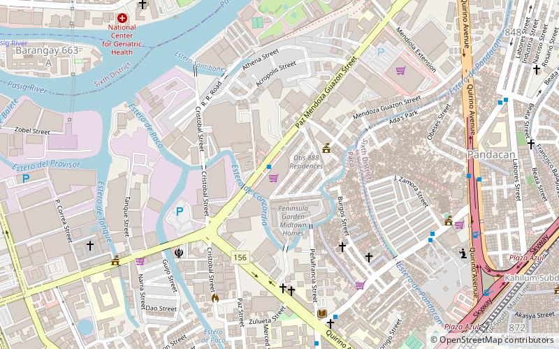
Nagtahan Interchange, Manila
Map
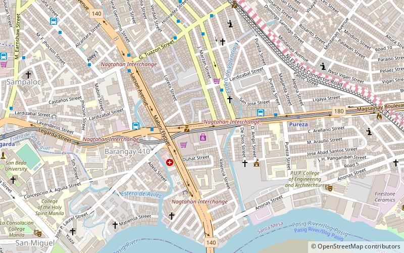
Map

Facts and practical information
The Nagtahan Interchange, also known as the Nagtahan Flyover and the Mabini Flyover, is a three-level set of three intersecting flyovers in Manila, the Philippines which serves as the junction between Lacson Avenue, Nagtahan Street, Legarda Street, Magsaysay Boulevard, and Jose P. Laurel Street, as well as the nearby Mabini Bridge. ()
Opened: March 1992 (33 years ago)Coordinates: 14°36'5"N, 121°0'4"E
Address
SampalocManila
ContactAdd
Social media
Add
Day trips
Nagtahan Interchange – popular in the area (distance from the attraction)
Nearby attractions include: Malacañang Palace, Our Lady of Montserrat Abbey, San Sebastian Church, Mabini Shrine.
Frequently Asked Questions (FAQ)
Which popular attractions are close to Nagtahan Interchange?
Nearby attractions include San Miguel, Manila (3 min walk), Legarda Street, Manila (4 min walk), Sampaloc, Manila (4 min walk), Pureza Street, Manila (7 min walk).
How to get to Nagtahan Interchange by public transport?
The nearest stations to Nagtahan Interchange:
Bus
Metro
Train
Ferry
Bus
- Ramon Magsaysay-Vicente Cruz • Lines: T310 (2 min walk)
- Lardizabal • Lines: T310 (3 min walk)
Metro
- Pureza • Lines: 2 (7 min walk)
- Legarda • Lines: 2 (15 min walk)
Train
- Santa Mesa (16 min walk)
- España (21 min walk)
Ferry
- Pup • Lines: Pasig River Ferry (19 min walk)
- Lambingan • Lines: Pasig River Ferry (39 min walk)

