Ayala Bridge, Manila
Map
Gallery
Facts and practical information
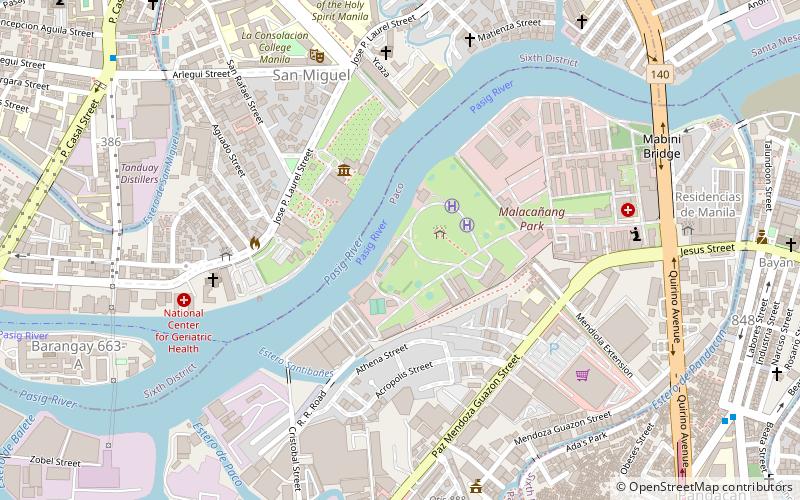
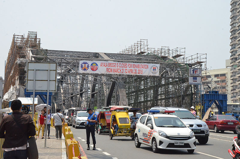
Ayala Bridge, in Filipino "Tulay ng Ayala" and in Spanish "Puente de Ayala", is a steel truss bridge over the Pasig River in Manila, Philippines. It connects the districts of Ermita and San Miguel, passing over the western tip of Isla de Convalecencia. It carries Circumferential Road 1 and National Route 180, linking Ayala Boulevard in Ermita to P. Casal Street in San Miguel. ()
Coordinates: 14°35'28"N, 120°59'56"E
Address
PacoManila
ContactAdd
Social media
Add
Day trips
Ayala Bridge – popular in the area (distance from the attraction)
Nearby attractions include: Malacañang Palace, SM Quiapo, Our Lady of Montserrat Abbey, San Sebastian Church.
Frequently Asked Questions (FAQ)
Which popular attractions are close to Ayala Bridge?
Nearby attractions include Bahay ng Pagbabago, Manila (7 min walk), Mabini Bridge, Manila (8 min walk), Kalayaan Hall, Manila (10 min walk), Malacañang Palace, Manila (11 min walk).
How to get to Ayala Bridge by public transport?
The nearest stations to Ayala Bridge:
Bus
Train
Metro
Ferry
Light rail
Bus
- Labores • Lines: 301 (8 min walk)
- Zamora-Quirino • Lines: 301 (9 min walk)
Train
- Pandacan (17 min walk)
- Paco (22 min walk)
Metro
- Legarda • Lines: 2 (21 min walk)
- Pureza • Lines: 2 (22 min walk)
Ferry
- Pup • Lines: Pasig River Ferry (22 min walk)
- Santa Ana • Lines: Pasig River Ferry (27 min walk)
Light rail
- United Nations • Lines: 1 (29 min walk)
- Central Terminal • Lines: 1 (30 min walk)

