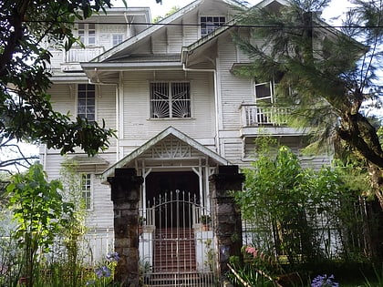
Camp John Hay, Baguio
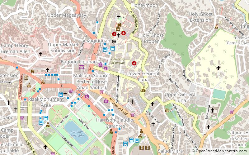
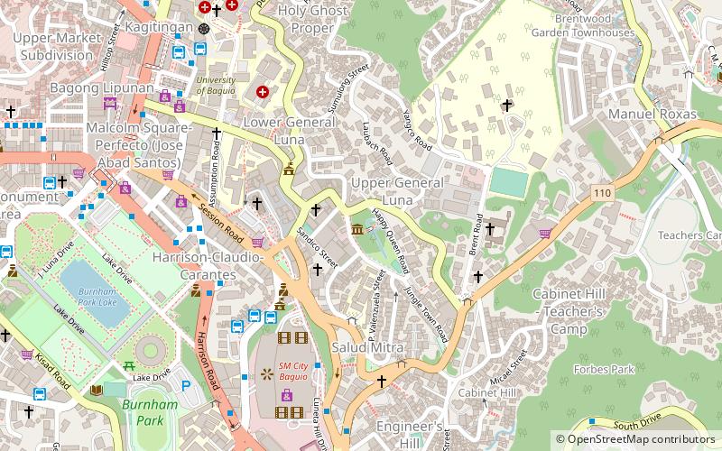
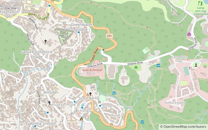
Map
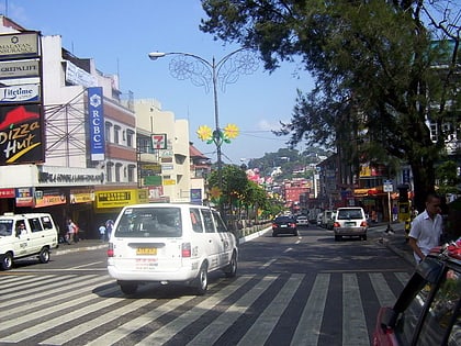
Gallery
Facts and practical information
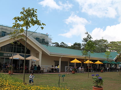
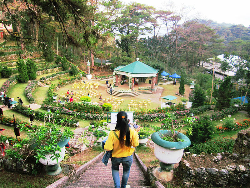
Camp John Hay is a mixed-used development which serves as a tourist destination and forest watershed reservation in Baguio, Philippines which was formerly a military base of the United States Armed Forces. ()
Elevation: 4829 ft a.s.l.Coordinates: 16°23'56"N, 120°36'34"E
Address
Baguio
ContactAdd
Social media
Add
Day trips
Camp John Hay – popular in the area (distance from the attraction)
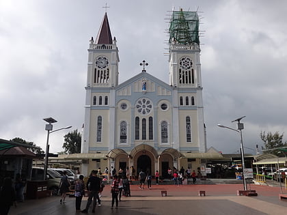
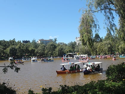
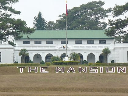
Nearby attractions include: SM City, Baguio Cathedral, Burnham Park, The Mansion.
Frequently Asked Questions (FAQ)
Which popular attractions are close to Camp John Hay?
Nearby attractions include University of the Philippines Baguio, Baguio (23 min walk), Laperal White House, Baguio (23 min walk), Teacher's Camp, Baguio (24 min walk).
How to get to Camp John Hay by public transport?
The nearest stations to Camp John Hay:
Bus
Bus
- Camp John Hay Main Gate • Lines: Loakan PEZA, PMA Kias, Scout Barrio (3 min walk)
- Techno Hub • Lines: Loakan PEZA, PMA Kias, Scout Barrio (3 min walk)
