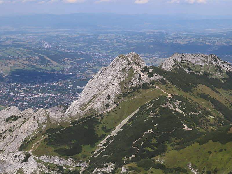
Sarnia Skała, Tatra National Park

Gallery (5)
Map

Map

Gallery
Facts and practical information
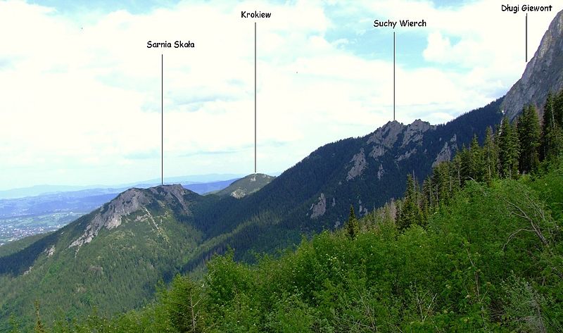
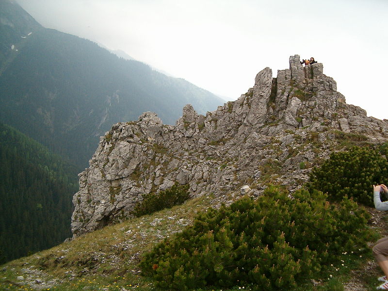
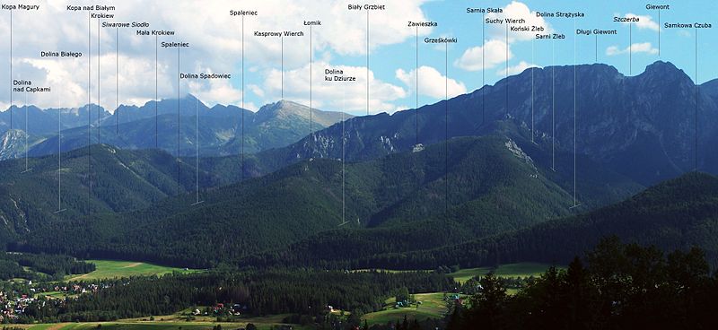
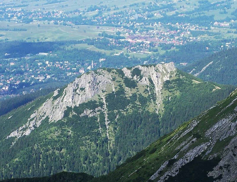
Sarnia Skała - peak in the agglomeration belt of the Western Tatras, between the Białe Valley and the Strążyska Valley. The Geoportal map gives an altitude of 1377 m.
Address
Tatra National Park
ContactAdd
Social media
Add
Getting there by public transportation
Public transportation stops near this location
- Bus
 Bus
Bus
- Calculate routeDolina Strążyska 25 min walk
- Calculate routeskocznia 41 min walk
Day trips


Frequently Asked Questions (FAQ)
Which popular attractions are close to Sarnia Skała?
Nearby attractions include Suchy Wierch, Tatra National Park (12 min walk), Siklawica, Tatra National Park (16 min walk), Strążyska Valley, Tatra National Park (17 min walk), Turnia Kiernia, Tatra National Park (21 min walk).
How to get to Sarnia Skała by public transport?
The nearest stations to Sarnia Skała:
Bus
Bus
- Dolina Strążyska • Lines: 12 (25 min walk)
- skocznia • Lines: 9 (41 min walk)