Katowice Forest Park, Katowice
Map

Map

Facts and practical information
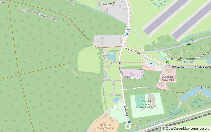
Katowice Forest Park Polish: Katowicki Park Leśny) is a large park and wooded area in the southern part of the city of Katowice, Poland. It is the largest green area in Katowice. ()
Address
Zespół dzielnic śródmiejskich (Osiedle Paderewskiego-Muchowiec)Katowice
ContactAdd
Social media
Add
Day trips
Katowice Forest Park – popular in the area (distance from the attraction)
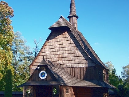
Nearby attractions include: Church of St. Michael the Archangel, Kościuszko Park, Parachute Tower in Katowice, Muzeum Archidiecezjalne.
Frequently Asked Questions (FAQ)
How to get to Katowice Forest Park by public transport?
The nearest stations to Katowice Forest Park:
Bus
Tram
Bus
- Muchowiec Park • Lines: 110 (4 min walk)
- Muchowiec 73 Pułku Piechoty n/ż • Lines: 292 (12 min walk)
Tram
- Brynów Zgrzebnioka • Lines: T14, T16, T36, T6 (26 min walk)
- Katowice Kościuszki Basen • Lines: T14, T16, T36, T6 (26 min walk)


