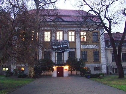
Kościół pw. Świętego Rocha, Poznań
Map
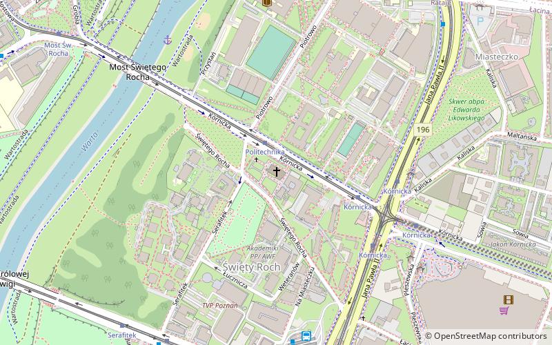
Map

Facts and practical information
St. Roch Church in Poznań - a Roman Catholic church located in Poznań on the right bank of the Warta River in the part of the city called Święty Roch, between St. Roch, Serafitek and Kórnicka Streets. It serves as a parish church for the parish of the same name. Since 2017 a Lenten station church.
Coordinates: 52°24'0"N, 16°56'57"E
Day trips
Kościół pw. Świętego Rocha – popular in the area (distance from the attraction)
Nearby attractions include: Fara Church, Poznań Cathedral, Wielkopolska Museum of Independence, Poznań Fara.
Frequently Asked Questions (FAQ)
Which popular attractions are close to Kościół pw. Świętego Rocha?
Nearby attractions include Park Karola Kurpińskiego, Poznań (3 min walk), Most Świętego Rocha, Poznań (6 min walk), Skwer Ignacego Łukasiewicza, Poznań (9 min walk), Zyga Latarnik, Poznań (10 min walk).
How to get to Kościół pw. Świętego Rocha by public transport?
The nearest stations to Kościół pw. Świętego Rocha:
Tram
Bus
Train
Light rail
Tram
- Politechnika • Lines: 5, 6, 9 (2 min walk)
- Kórnicka • Lines: 13, 16, 17, 201, 202, 3, 5, 6, 7, 9 (4 min walk)
Bus
- Politechnika • Lines: 100, 237, (N) 237K (2 min walk)
- Kórnicka • Lines: 231, 237, (N) 237K (5 min walk)
Train
- Maltanka (18 min walk)
- Ptyś (30 min walk)
Light rail
- Poznań Garbary • Lines: Pkm2, Pkm3 (32 min walk)


