Solnisko, Zawoja


Facts and practical information
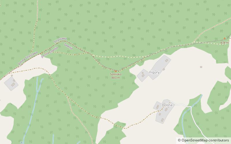
Solniska - a peak in the Jałowiec Range, between Kiczora and the Kolędówki Pass. According to Jerzy Kondracki, the author of a scientifically elaborated geographical regionalization of Poland, this range is part of the Przedbabiogórskie Range and belongs to the Beskid Makowski. The Compass map gives a slightly different height of Solnisko - 883 m.
Solniska is not an outstanding peak, only slightly rising above two passes in the ridge of the Jałowiec Range. From the northern slopes of the peak the Janicki Creek flows down to the Stryszawka River. These slopes are traversed by a forest road to carry wood. On the south side there is a low, flat and forestless ridge covered by fields and buildings of Zawoja. The buildings of these settlements stretch all the way to the ridge of the range, to the pass on either side of Solnisko. On the southern side there are only forests on the top of Solnisko and a short fragment of its upper slopes.
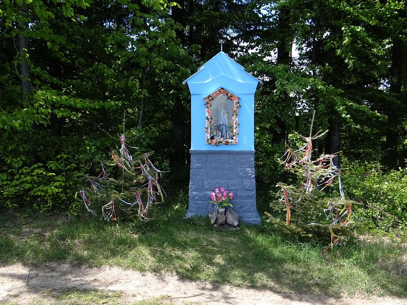
Slightly on the northern side of Solnisko, a yellow marked hiking trail leads along the ridge of the Przedbabiogórskie Range. Along the trail, on both sides of Solnisko, there are two chapels. Thanks to the open expanses of farmland on the trail there is a good view of the Babia Góra Range, the Polica Range and the Skawica Valley.
Zawoja
Solnisko – popular in the area (distance from the attraction)
Nearby attractions include: Dom Handlowy Pod Wiązem, Polica Mountain, Muzeum Miejskie Suchej Beskidzkiej, Klasztor Karmelitów Bosych.


