Kiczora, Zawoja


Facts and practical information
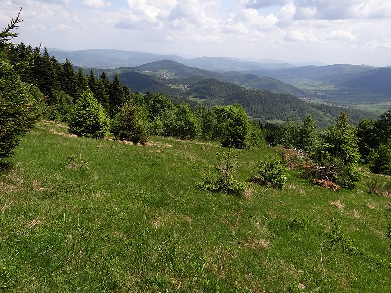
Kiczora or Kiczera - the peak of the Przedbabiogórski Range, between the Przysłop Pass and Solniska. According to the regionalization of Poland elaborated by Jerzy Kondracki, this range belongs to the Beskid Makowski. On maps and in tourist guidebooks it is sometimes classified as the Beskid Żywiecki.
The name of the mountain like many others comes from the Wallachian language and means a mountain overgrown with forest.
In the north-west direction to the Stryszawka valley falls from Kiczora the side ridge with the Mirków Groń peak, in the south-east direction to the Skawica valley falls quite mild ridge ending with the Surmiaków Groń and Niedźwiedziarka hills. The slopes of Kiczora are quite gentle; that is why in the past a considerable part of the forest was cut down and the land was used for farmlands, which, together with buildings on all sides, go up high to the peak of Kiczora. On the north-eastern side there is the Przysłop community, which belongs to Zawoja; on the northern slopes there is the Mirkówka community, which belongs to Stryszawa. The fields and buildings of the settlements of Zawoja were located on the south-eastern slopes of the peak of Kiczora. The fact that there were arable fields here is evidenced by piles of stones collected from these fields. Due to the economic unprofitability of the highest fields cultivation has ceased and they are gradually overgrown with forest. Still, Kiczora and its southern and northeastern, forestless slopes are a good vantage point. It offers a panoramic view of the Beskid Makowski towards the Przysłop Pass and the whole Polica Range and the Babia Góra Range.
Zawoja
Kiczora – popular in the area (distance from the attraction)
Nearby attractions include: Dom Handlowy Pod Wiązem, Polica Mountain, Muzeum Miejskie Suchej Beskidzkiej, Klasztor Karmelitów Bosych.


