Magurka, Zawoja


Facts and practical information
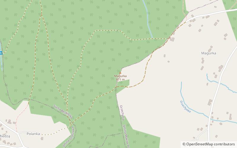
Magurka - a peak with an altitude of 872 m on the eastern side of the Przysłop Pass in the main ridge of the Jałowiec Range. According to the regionalization of Poland developed by Jerzy Kondracki, this range belongs to the Beskid Makowski. On maps and in tourist guidebooks it is sometimes counted as the Beskid Żywiecki.
The borders of four towns converge on the peak: Stryszawa, Sucha Beskidzka, Zawoja and Grzechynia. Magurka is forested, but on its eastern and southern sides there are fields and buildings of Grzechynia and Przysłop hamlet, which belongs to Zawoja. In the past the fields of these villages stretched up to the peak of Magurka. Nowadays the fields in the highest locations have ceased to be used for agriculture and are gradually being overgrown with forest. Also on the south-eastern slopes of Magurka there are fields of the Janiki settlement belonging to Stryszawa and on the northern slopes of the Kubasiaki settlement belonging to Sucha Beskidzka. The slopes of Magurka are cut by valleys of several streams. The biggest of them are: Grzechynka, Zasypnica, Czerna. On the ridges between the valleys of these streams there are hills: Skupniówka, Surzynówka, Kamienna. On the pass between Magurka and Surzynówka there is the resort "Beskidzki Raj".
The name comes from the Wallachian language.
There are no hiking trails leading to the peak, however, below the peak there are three trails: Zawoja - Sucha Beskidzka, Przysłop - StryszawaZawoja - Sucha Beskidzka
Zawoja
Magurka – popular in the area (distance from the attraction)
Nearby attractions include: Dom Handlowy Pod Wiązem, Polica Mountain, Muzeum Miejskie Suchej Beskidzkiej, Klasztor Karmelitów Bosych.


