Zielony Staw Gąsienicowy, Tatra National Park
Map

Map

Facts and practical information
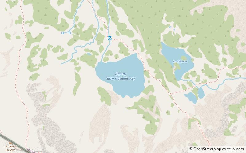
Zielony Staw Gąsienicowy is a tarn in Poland, part of the Gąsienicowe Ponds in the High Tatras. The lake is located at an elevation of 1,672 metres in a corrie of the Skrajna pyramidal peak. The tarn was formerly named Suczy Staw. Zielony Staw Gąsienicowy is the largest lake in the Zielona Gąsienicowa Valley. ()
Alternative names: Area: 9.49 acres (0.0148 mi²)Length: 902 ftWidth: 781 ftMaximum depth: 50 ftElevation: 5486 ft a.s.l.Coordinates: 49°13'43"N, 19°59'57"E
Address
Tatra National Park
ContactAdd
Social media
Add
Day trips
Zielony Staw Gąsienicowy – popular in the area (distance from the attraction)
Nearby attractions include: Świnica, Kasprowy Wierch, Kurtkowiec Lake, Kościelec.
Frequently Asked Questions (FAQ)
Which popular attractions are close to Zielony Staw Gąsienicowy?
Nearby attractions include Kurtkowiec Lake, Tatra National Park (5 min walk), Pośrednia Turnia, Tatra National Park (12 min walk), Beskid / Beskyd, Tatra National Park (13 min walk), Mały Kościelec, Tatra National Park (15 min walk).


