Sikornik Wschodni, Kraków


Facts and practical information
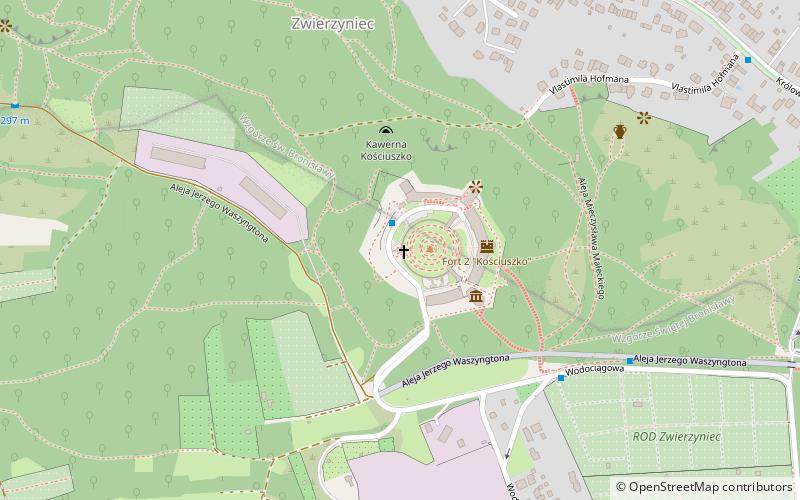
Sikornik - the western summit of a two-topped hill in the eastern part of the Sowiniec Range in Kraków. The eastern peak is Mount St. Bronislawa. The Kościuszko Mound is located on it.
The elongated ridge of these hills has a length of just over 3 km. From the eastern side, it gradually lowers towards the mouth of the Rudawa River into the Vistula. George Washington Avenue leads there, at the end of which there is the Salwator housing estate with a historic church. From the west it neighbors with Pustelnik, from which it is separated by a wide saddle, called Przegorzalska Pass, through which pass streets Jodłowa and Starowolska, connecting Przegorzały with Wola Justowska.
Geographically, the Owiniec Range belongs to the Krakowski Bridge within the Krakowska Gate macroregion.
The northwestern steep slopes of Sikornik Hill and Mount St. Bronislawa are covered with deciduous forest. Relatively large height differences make the terrain varied. The slopes are cut by ravines and gullies. On the slopes there are exposures of Jurassic limestone rocks. The largest of them is Strzelnica - two rock walls where rock climbing is practiced. There is also a small Nisa above the Strzelnica in the rocks. In the past, there was a small pit and slope mine here.
From the 1920s to the 1950s ski jumps were operated here.
There are plans to build a tunnel under the hill on the route of the third ring road of Krakow.
ZwierzyniecKraków
Sikornik Wschodni – popular in the area (distance from the attraction)
Nearby attractions include: Błonia, Jordan Park, Church of the Holy Virgin Mary of Lourdes, Zwierzyniecki Salon Artystyczny.
Frequently Asked Questions (FAQ)
Which popular attractions are close to Sikornik Wschodni?
How to get to Sikornik Wschodni by public transport?
Bus
- Kopiec Kościuszki • Lines: 100, 101 (1 min walk)
- Aleja Waszyngtona • Lines: 100, 101 (6 min walk)
Tram
- Cichy Kącik • Lines: 20, 6 (19 min walk)
- Reymana • Lines: 20, 6 (24 min walk)


