Płock Pier, Płock
Map
Gallery
Facts and practical information
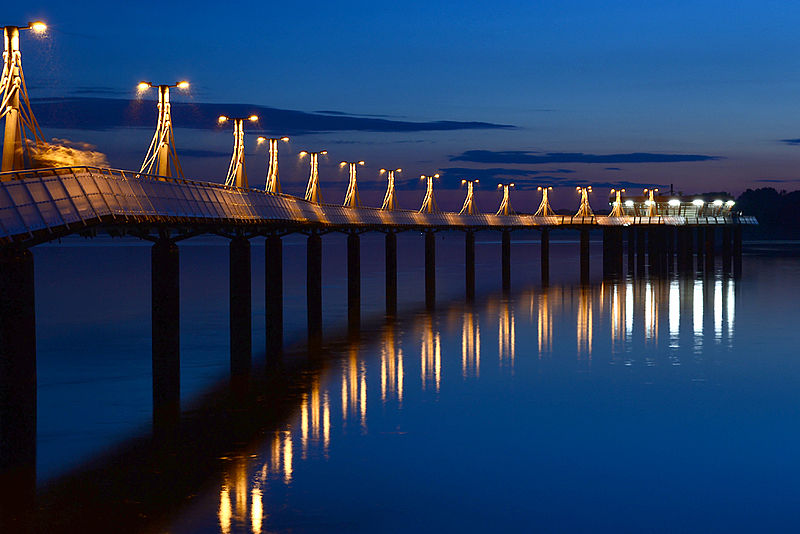
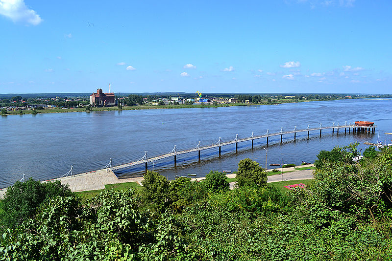
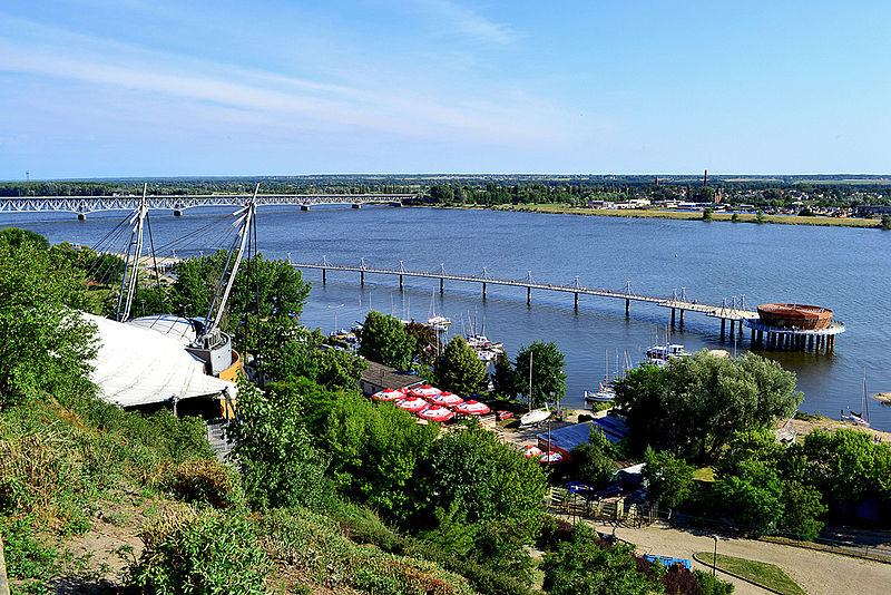
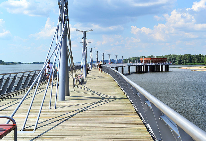
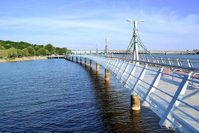
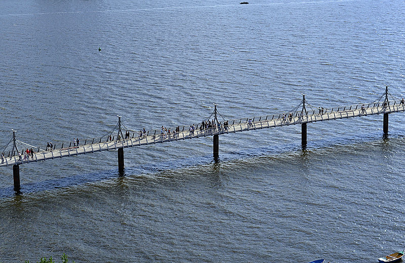
The Pier in Płock is a pleasure pier in Płock, Poland, reaching into the Vistula River. The pier in Płock is also a part of the marina. The pedestrian pier in Płock is 358 metres long, 5.3 metres wide, except for the end of the pier, which is 15.3 metres wide. At the end of the pier is situated a restaurant. The pier is a steel structure. ()
Local name: Molo w Płocku Opened: 25 June 2011 (14 years ago)Length: 1174 ftCoordinates: 52°32'24"N, 19°41'8"E
Address
Płock
ContactAdd
Social media
Add
Day trips
Płock Pier – popular in the area (distance from the attraction)
Nearby attractions include: Płock Cathedral, Płock Castle, Bolesław III Wrymouth Monument, Temple of Mercy and Charity.
Frequently Asked Questions (FAQ)
Which popular attractions are close to Płock Pier?
Nearby attractions include Muzeum Diecezjalne, Płock (4 min walk), Płock Castle, Płock (5 min walk), Ławeczka Jakuba Chojnackiego, Płock (5 min walk), Płock Cathedral, Płock (5 min walk).
How to get to Płock Pier by public transport?
The nearest stations to Płock Pier:
Bus
Train
Bus
- Kwiatka • Lines: 19, 22, 33, N1 (10 min walk)
- pl. Obr. Warszawy • Lines: 19, 22, 33, N1 (10 min walk)
Train
- Płock Radziwie (32 min walk)
- Płock (37 min walk)


