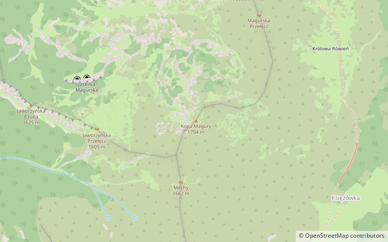
Magura Mountain, Tatra National Park
Map

Map

Facts and practical information
Magura is a peak located in the Kasprowy Wierch massif, part of the Western Tatras in Poland. The peak is located between the Uhrocie Kasprowe and the Mała Kopa Królowa in the Western Tatras. ()
Elevation: 5591 ftProminence: 138 ftCoordinates: 49°14'55"N, 20°0'2"E
Address
Tatra National Park
ContactAdd
Social media
Add
Day trips
Magura Mountain – popular in the area (distance from the attraction)
Nearby attractions include: Kasprowy Wierch, PTTK Shelter Murowaniec, Wielka Królowa Kopa, Myślenickie Turnie.
Frequently Asked Questions (FAQ)
Which popular attractions are close to Magura Mountain?
Nearby attractions include Mała Królowa Kopa, Tatra National Park (8 min walk), Gąsienicowa Valley, Tatra National Park (9 min walk), PTTK Shelter Murowaniec, Tatra National Park (12 min walk), Wielka Królowa Kopa, Tatra National Park (14 min walk).


