St. Florian's Cathedral, Warsaw
Map
Gallery
Facts and practical information
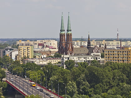
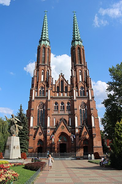
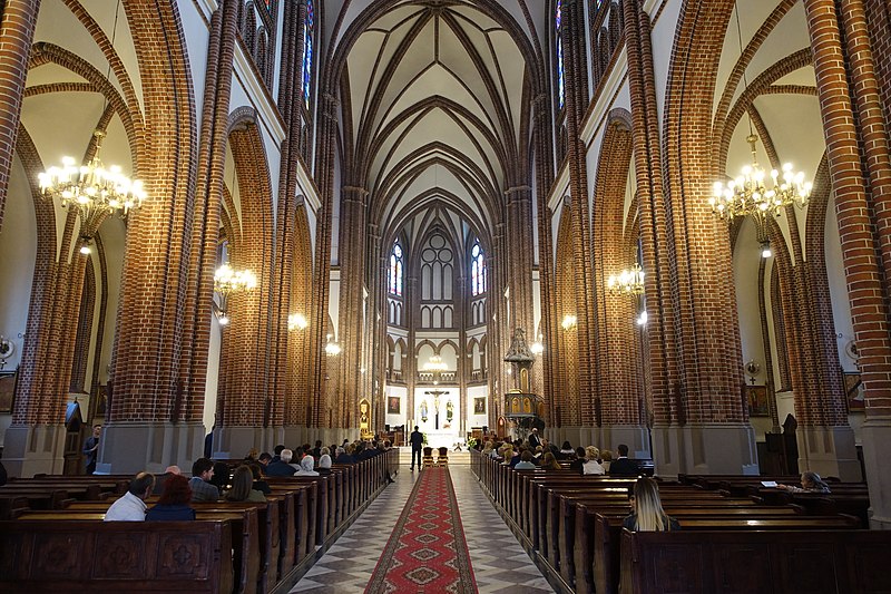
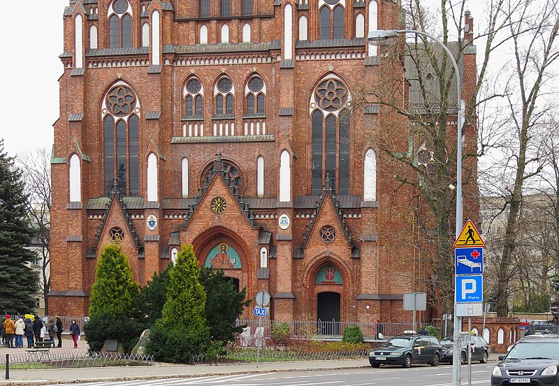
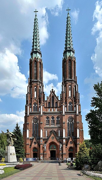
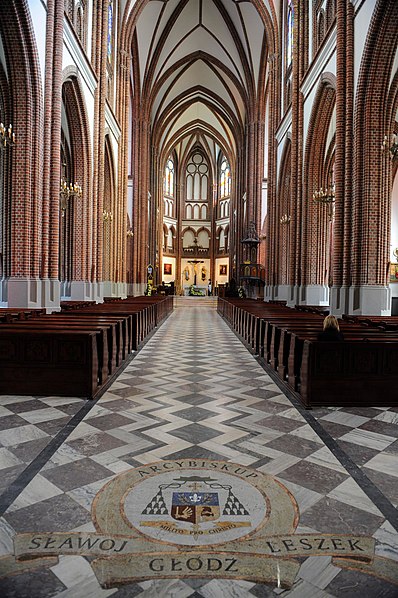
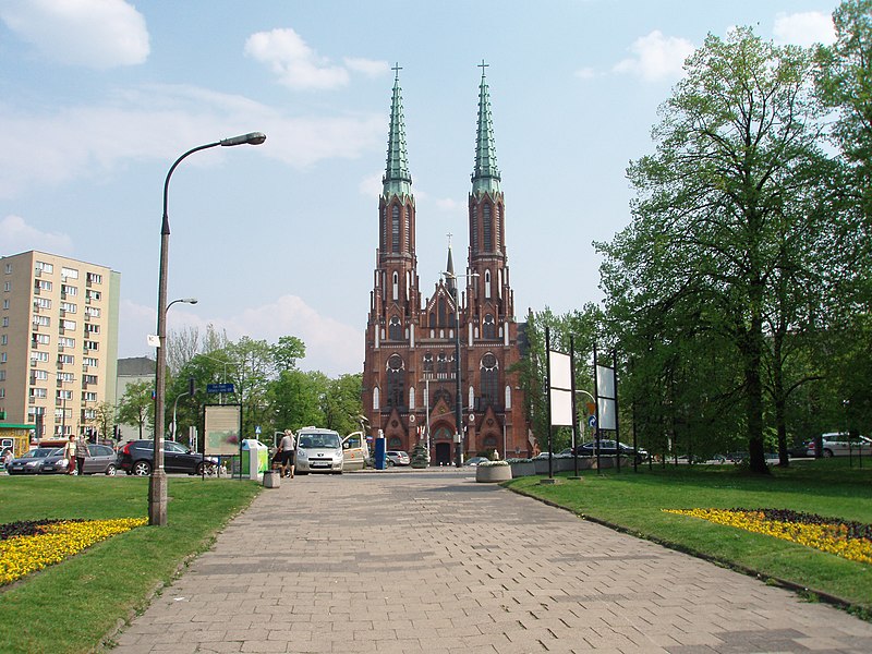
St. Florian's Cathedral, more formally known as the Cathedral of St. Michael the Archangel and St. Florian the Martyr, is a Roman Catholic church and minor basilica, dedicated to St. Florian. The church is located at 3 Floriańska Street in Praga-Północ district of Warsaw. ()
Local name: Bazylika katedralna św. Michała Archanioła i św. Floriana Męczennika w Warszawie Completed: 1904 (122 years ago)Architectural style: Gothic revivalCoordinates: 52°15'6"N, 21°1'51"E
Address
Floriańska 3Praga Północ (Stara Praga)Warsaw 03-707
Contact
+48 22 619 09 60
Social media
Add
Day trips
St. Florian's Cathedral – popular in the area (distance from the attraction)
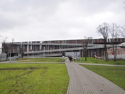
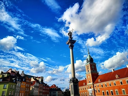
Nearby attractions include: Royal Castle, Copernicus Science Centre, Warsaw Zoo, Sigismund's Column.
Frequently Asked Questions (FAQ)
Which popular attractions are close to St. Florian's Cathedral?
Nearby attractions include Praga Park, Warsaw (2 min walk), Cathedral of St. Mary Magdalene, Warsaw (6 min walk), Kościuszko Infantry Division Memorial, Warsaw (7 min walk), Monument to Brotherhood in Arms, Warsaw (7 min walk).
How to get to St. Florian's Cathedral by public transport?
The nearest stations to St. Florian's Cathedral:
Bus
Tram
Metro
Train
Bus
- Park Praski 02 • Lines: 160, 190, N11, N16, N21, N61, N71 (2 min walk)
- Sierakowskiego 01 • Lines: 162, N14, N64 (4 min walk)
Tram
- Park Praski 02 • Lines: 13, 20, 23, 26, 4 (2 min walk)
- Dworzec Wileński 07 • Lines: 13, 25, 26, 28, 3, 6 (7 min walk)
Metro
- Dworzec Wileński • Lines: M2 (7 min walk)
- Stadion Narodowy • Lines: M2 (16 min walk)
Train
- Warszawa Wileńska (11 min walk)
- Warszawa Stadion (19 min walk)
