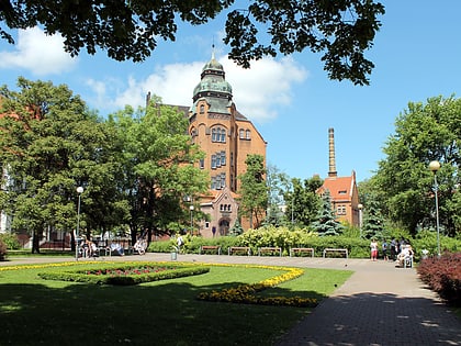
Kościół pw. Maryi Królowej, Poznań
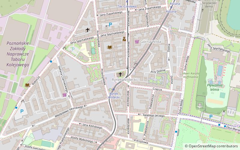
Map
Gallery
Facts and practical information
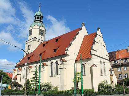
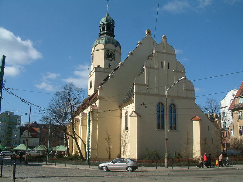
The Church of Mary Queen in Poznań is located at Wildecki Square. The temple was built between 1904-1907, according to the project of Berlin architect Oskar Hossfeld for the Evangelical community. Initially it bore the name of St. Matthew.
Coordinates: 52°23'36"N, 16°55'15"E
Day trips
Kościół pw. Maryi Królowej – popular in the area (distance from the attraction)
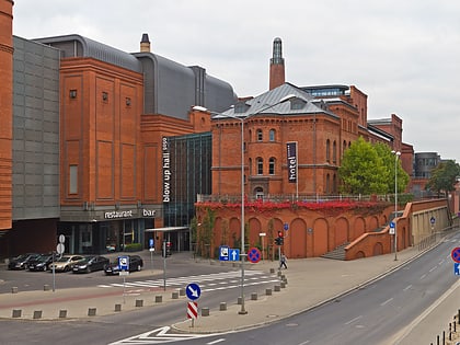
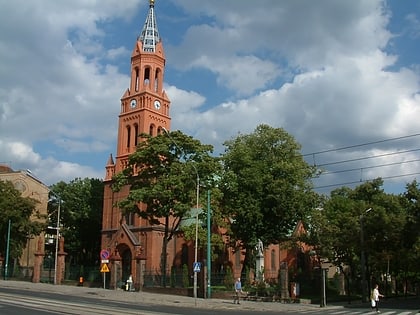
Nearby attractions include: Stary Browar, Museum of Historical Costume, Avenida, Kościół pw. Matki Boskiej Bolesnej.
Frequently Asked Questions (FAQ)
Which popular attractions are close to Kościół pw. Maryi Królowej?
Nearby attractions include Fontanna na Rynku Wildeckim, Poznań (1 min walk), Plac Marii Skłodowskiej-Curie, Poznań (2 min walk), Krzyż Papieski, Poznań (9 min walk), Kościół pw. Zmartwychwstania Pańskiego, Poznań (12 min walk).
How to get to Kościół pw. Maryi Królowej by public transport?
The nearest stations to Kościół pw. Maryi Królowej:
Tram
Bus
Light rail
Train
Tram
- Rynek Wildecki • Lines: , 10, 12, 2, 9 (1 min walk)
- Św. Czesława • Lines: 10, 12, 2, 9 (7 min walk)
Bus
- Bergera • Lines: 171, 215 (6 min walk)
- Krzyżowa n/ż • Lines: 176 (7 min walk)
Light rail
- Poznań Główny • Lines: Pkm2, Pkm3, Pkm4 (18 min walk)
Train
- Poznań Main Station (18 min walk)
