Plac Marii Skłodowskiej-Curie, Poznań
Map
Map

Facts and practical information
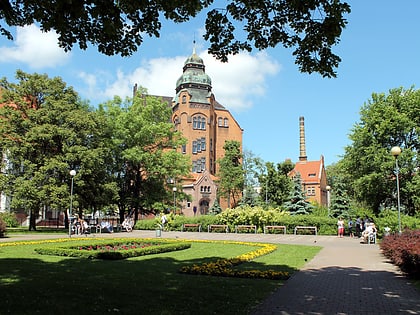
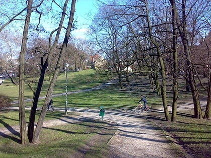
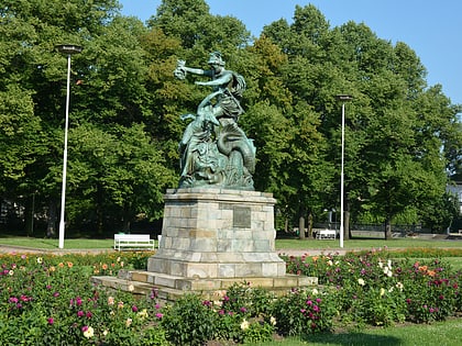
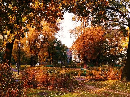
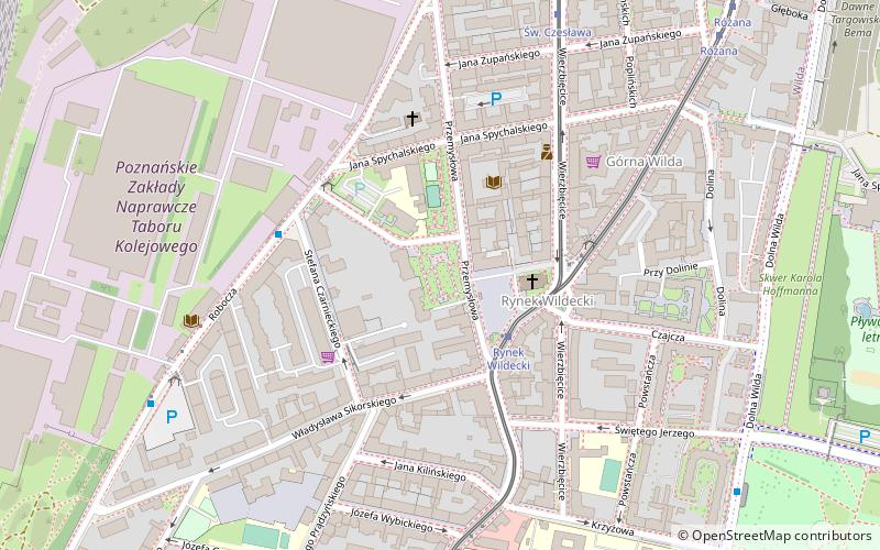
M. Skłodowska-Curie Square - one of Poznań's squares, lying along Przemysłowa Street, in the heart of the Wilda administrative district. The square begins at Wilda market and extends to Jana Spychalskiego street in the north. More or less in the middle it is crossed by Gotthilf Berger street - the former patron of the square.
Elevation: 246 ft a.s.l.Coordinates: 52°23'37"N, 16°55'8"E
Day trips
Plac Marii Skłodowskiej-Curie – popular in the area (distance from the attraction)
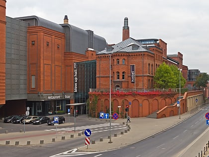
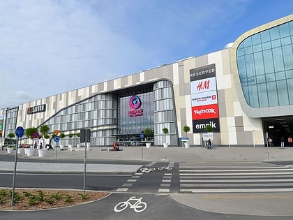
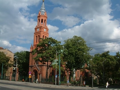
Nearby attractions include: Stary Browar, Museum of Historical Costume, Avenida, Kościół pw. Matki Boskiej Bolesnej.
Frequently Asked Questions (FAQ)
When is Plac Marii Skłodowskiej-Curie open?
Plac Marii Skłodowskiej-Curie is open:
- Monday 24h
- Tuesday 24h
- Wednesday 24h
- Thursday 24h
- Friday 24h
- Saturday 24h
- Sunday 24h
Which popular attractions are close to Plac Marii Skłodowskiej-Curie?
Nearby attractions include Kościół pw. Maryi Królowej, Poznań (2 min walk), Fontanna na Rynku Wildeckim, Poznań (3 min walk), Krzyż Papieski, Poznań (11 min walk), Kościół pw. Zmartwychwstania Pańskiego, Poznań (13 min walk).
How to get to Plac Marii Skłodowskiej-Curie by public transport?
The nearest stations to Plac Marii Skłodowskiej-Curie:
Tram
Bus
Light rail
Train
Tram
- Rynek Wildecki • Lines: , 10, 12, 2, 9 (3 min walk)
- Św. Czesława • Lines: 10, 12, 2, 9 (7 min walk)
Bus
- Bergera • Lines: 171, 215 (4 min walk)
- Zntk • Lines: 171, 215 (7 min walk)
Light rail
- Poznań Główny • Lines: Pkm2, Pkm3, Pkm4 (16 min walk)
Train
- Poznań Main Station (17 min walk)
