Bania, Rabka-Zdrój


Facts and practical information
Bania - a hill within the town of Rabka-Zdrój.
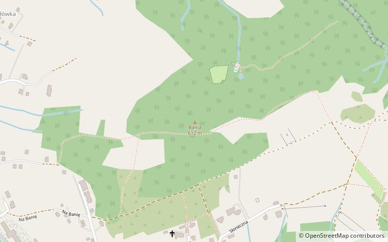
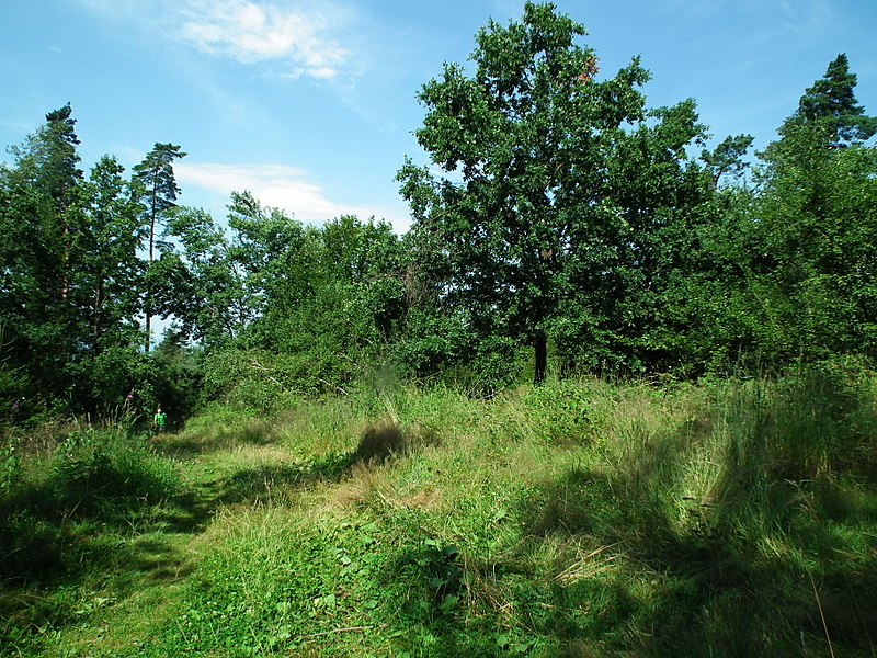
According to the scientific regionalization of Poland developed by Jerzy Kondracki Bania is located on the border of two mesoregions: Rabczańska Basin and the Gorce. The northern slopes of Bania fall quite steeply to the Raba River, whose bed is about 150 m below. The western slopes, also falling to the Raba River, are much gentler, as are the southern slopes, falling to the Slonka Creek valley. In the east Bania is separated from the Grzebiec by a small pass at an altitude of about 578 m. The top of Bania is covered with forest, as well as a large part of the northern slopes. On the southern slopes there are buildings of the Gawronówki district of Rabka-Zdrój. The remaining slopes are covered by arable fields.
The name of the hill probably comes from the word "bania" meaning mine. On maps in the 19th century it was described as "Pilna". From 1965, deep drilling was done on the slopes in search of warm brine waters.
At the top of the hill is a tourist shelter and a plaque commemorating deceased hunters placed by the Hunting Club "Bór" from Rabka.
Rabka-Zdrój
Bania – popular in the area (distance from the attraction)
Nearby attractions include: Suhora, Muzeum im. Władysława Orkana, Muzeum Biograficzne Władysława Orkana "Orkanówka" w Porębie Wielkiej, Park Zdrojowy.


