Park Jagielloński
Map

Map

Facts and practical information
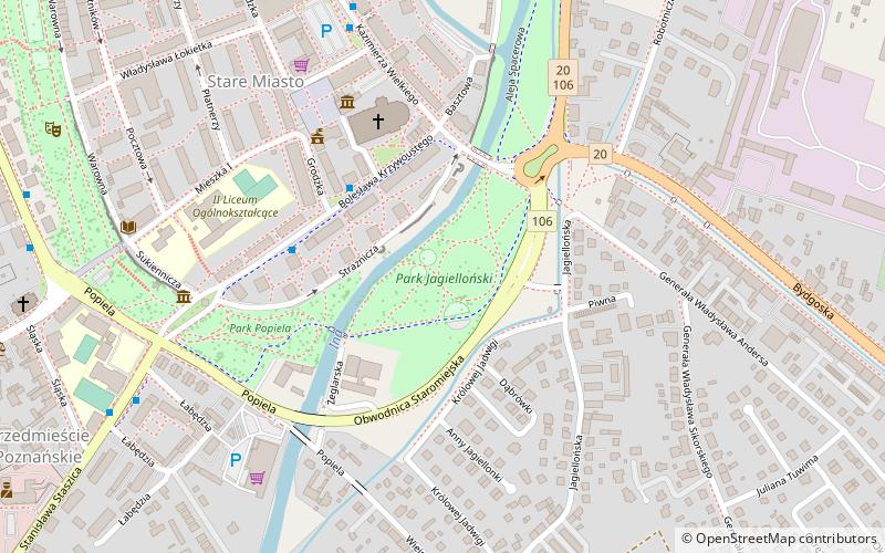
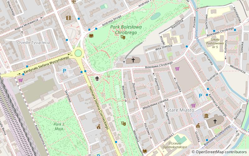
Jagiellonian Park, located in the eastern part of Stargard's Old Town, on the Ina River, is part of Stargard's Planty Park, bordered on the north by Castle Park and on the west by Popiel Park.
Occupying an area of 4.4 ha, it is the lowest park in Stargard - 19-20 m above sea level.
Elevation: 69 ft a.s.l.Coordinates: 53°20'6"N, 15°2'53"E
Location
Western Pomeranian
ContactAdd
Social media
Add
Day trips
Park Jagielloński – popular in the area (distance from the attraction)
Nearby attractions include: St. Mary's Church, Stargard Mill Gate, Stargard, Kościół Ducha Świętego.


