Gocław, Warsaw
Map
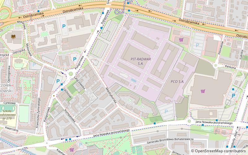
Map

Facts and practical information
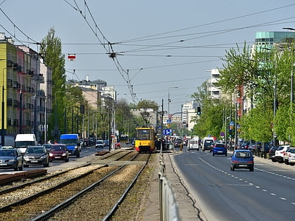
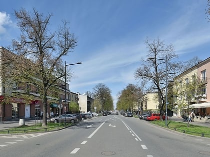
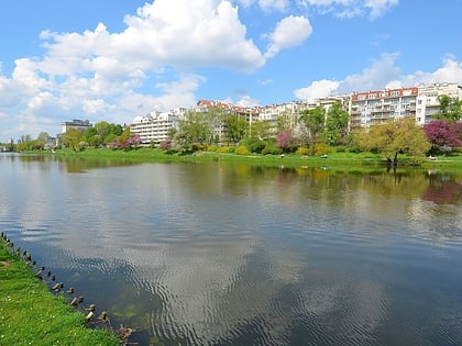
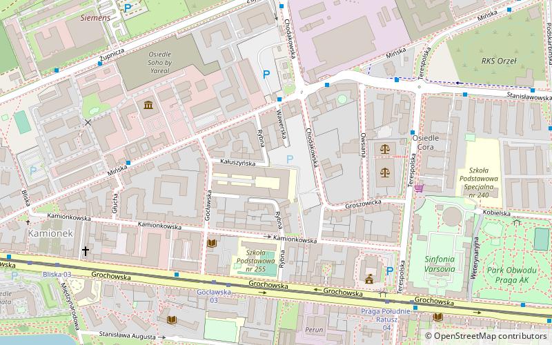
Gocław is a subdistrict in Praga-Południe, in south-east Warsaw with a population of over 50.000 inhabitants. ()
Day trips
Gocław – popular in the area (distance from the attraction)
Nearby attractions include: Grochowska Street, Praga-Południe, Kamionek, SWPS University.
Frequently Asked Questions (FAQ)
Which popular attractions are close to Gocław?
Nearby attractions include Grochów, Warsaw (14 min walk), Praga-Południe, Warsaw (16 min walk), Grochowska Street, Warsaw (21 min walk).
How to get to Gocław by public transport?
The nearest stations to Gocław:
Bus
Tram
Train
Bus
- Poligonowa 04 • Lines: 135, 151, 311 (5 min walk)
- Bohaterewicza 01 • Lines: 135, 151, 311 (5 min walk)
Tram
- Wiatraczna 06 • Lines: 24, 9 (21 min walk)
- Wiatraczna 11 • Lines: 9 (21 min walk)
Train
- Warszawa Olszynka Grochowska (36 min walk)

