Kamionek, Warsaw
Map
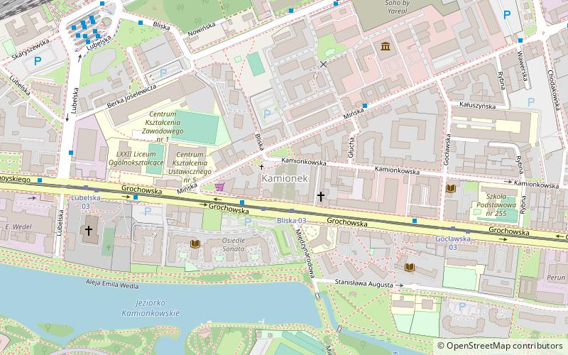
Map

Facts and practical information
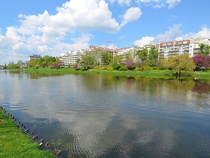
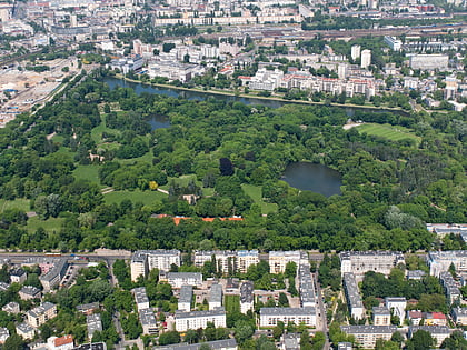
Kamionek, is a neighbourhood in Warsaw, located on the right bank of the Vistula river. Formerly a village, in the 19th century, with the beginning of the Industrial Revolution in this part of the Russian Empire, it was transformed into a textile industry center. Today it is part of Praga Południe, and most of its factories closed after the fall of the communism in Poland. It borders the Park Skaryszewski and Kamionek Lake to the south, Grochów to the east, and Praga to the north. ()
Address
Praga Południe (Kamionek)Warsaw
ContactAdd
Social media
Add
Day trips
Kamionek – popular in the area (distance from the attraction)
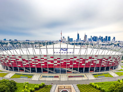
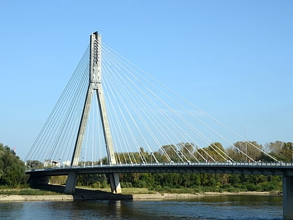
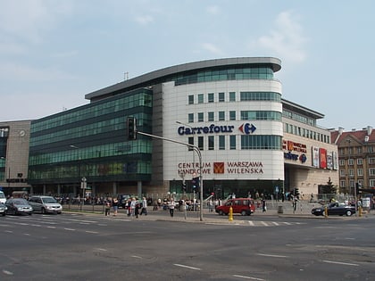
Nearby attractions include: National Stadium, Muzeum Azji i Pacyfiku, Świętokrzyski Bridge, Warszawa Wileńska.
Frequently Asked Questions (FAQ)
Which popular attractions are close to Kamionek?
Nearby attractions include Cmentarz kamionkowski, Warsaw (7 min walk), SWPS University, Warsaw (8 min walk), Skaryszew Park, Warsaw (11 min walk), Park Obwodu Praga AK, Warsaw (16 min walk).
How to get to Kamionek by public transport?
The nearest stations to Kamionek:
Tram
Bus
Train
Metro
Tram
- Bliska 03 • Lines: 22, 26, 3, 6 (2 min walk)
- Gocławska 03 • Lines: 22, 26, 3, 6 (6 min walk)
Bus
- Bliska 02 • Lines: 125, 135, N03, N21, N71 (2 min walk)
- Gocławska 01 • Lines: 125, 135, N03, N21, N71 (5 min walk)
Train
- Warsaw East (10 min walk)
- Warszawa Stadion (17 min walk)
Metro
- Stadion Narodowy • Lines: M2 (18 min walk)
- Dworzec Wileński • Lines: M2 (28 min walk)
