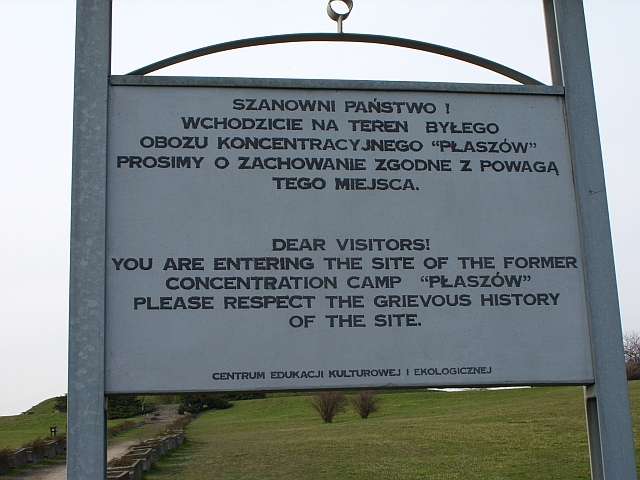
Kraków-Płaszów concentration camp, Kraków
Map
Gallery
Facts and practical information
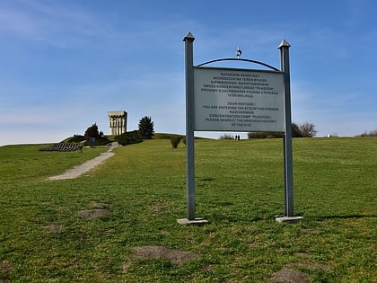
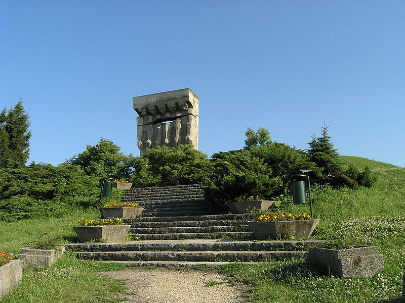
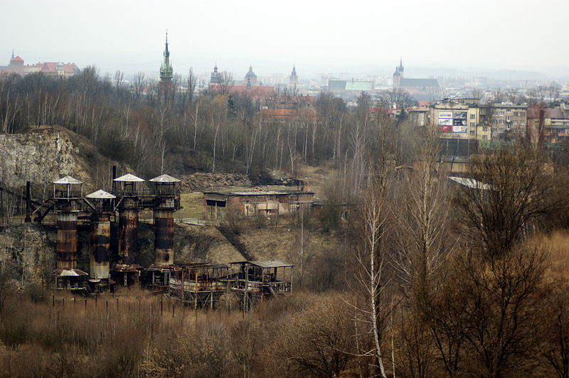
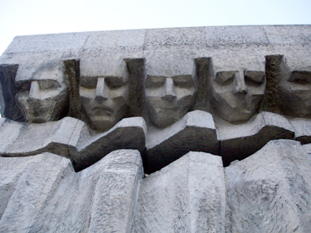
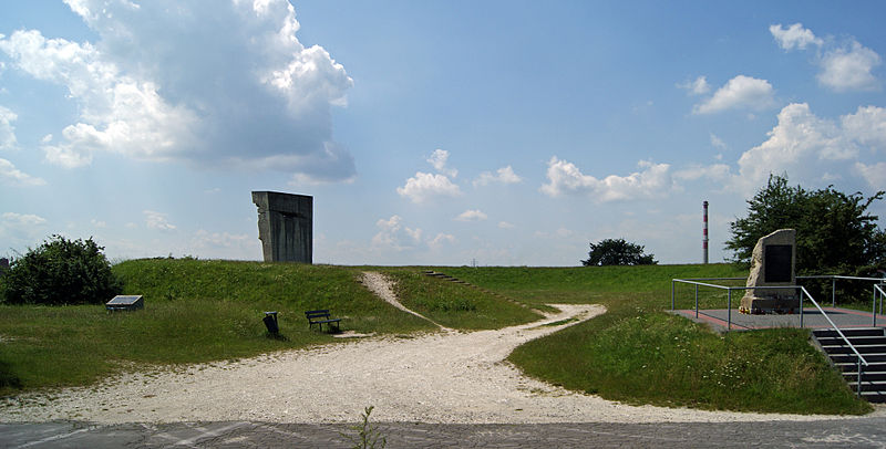
Płaszów or Kraków-Płaszów was a Nazi concentration camp operated by the SS in Płaszów, a southern suburb of Kraków, in the General Governorate of German-occupied Poland. Most of the prisoners were Polish Jews who were targeted for destruction by Nazi Germany during the Holocaust. Many prisoners died because of executions, forced labor, and the poor conditions in the camp. The camp was evacuated in January 1945, before the Red Army's liberation of the area on 20 January. ()
Address
Podgórze Duchackie (Heltmana)Kraków
ContactAdd
Social media
Add
Day trips
Kraków-Płaszów concentration camp – popular in the area (distance from the attraction)
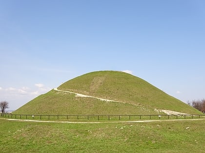
Nearby attractions include: Oskar Schindler's Enamel Factory, Krakus Mound, Ethnographic Museum, St. Joseph's Church.
Frequently Asked Questions (FAQ)
Which popular attractions are close to Kraków-Płaszów concentration camp?
Nearby attractions include Hujowa Górka, Kraków (3 min walk), Podgórski cmentarz żydowski stary, Kraków (7 min walk), Cmentarz Podgórski, Kraków (14 min walk), Krakus Mound, Kraków (17 min walk).
How to get to Kraków-Płaszów concentration camp by public transport?
The nearest stations to Kraków-Płaszów concentration camp:
Bus
Tram
Train
Bus
- Dworcowa • Lines: 143, 274, 301, 643 (6 min walk)
- Makowa • Lines: 144 (7 min walk)
Tram
- Dworcowa • Lines: 11, 13, 24, 3, 6, 69 (6 min walk)
- Dworzec Płaszów Estakada • Lines: 11, 49, 50, 9 (12 min walk)
Train
- Kraków Płaszów (12 min walk)
- Kraków Podgórze (21 min walk)
