Park miejski im. Powstańców Wielkopolskich, Śrem
Map

Map

Facts and practical information
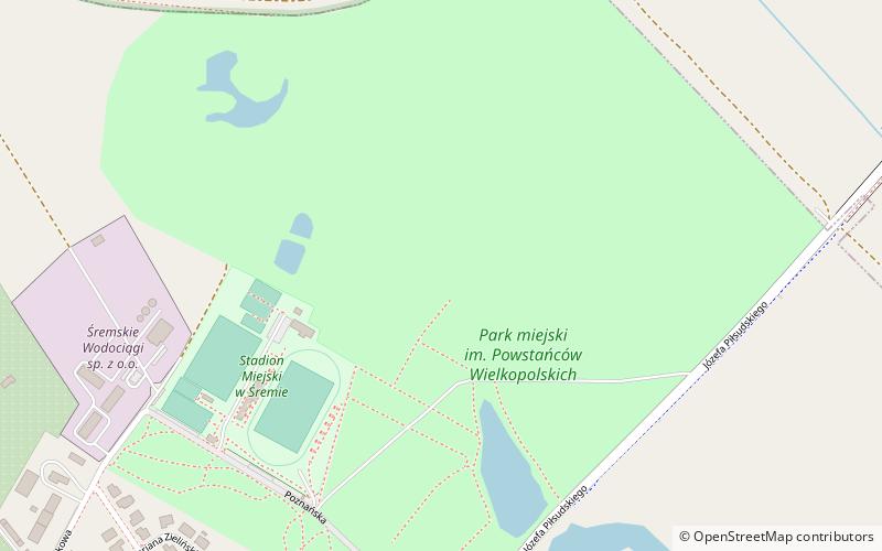
Municipal Park named after Wielkopolska Insurgents 1918-1919 in Śrem - the largest and oldest municipal park in Śrem located between Poznańska Street and Parkowa Street; a municipal stadium is located on its grounds. The park area is about 46 ha. In the older part of the park there are mainly deciduous trees, pines can be found near the dykes. The park is a habitat for squirrels, hares and deer, among others.
Elevation: 230 ft a.s.l.Coordinates: 52°6'9"N, 17°1'37"E
Address
Śrem
ContactAdd
Social media
Add
Day trips
Park miejski im. Powstańców Wielkopolskich – popular in the area (distance from the attraction)
Nearby attractions include: Muzeum Śremskie, Kościół pw. NMP Wniebowziętej, Kościół pw. Ducha Świętego, Kościół pw. Narodzenia NMP.
Frequently Asked Questions (FAQ)
Which popular attractions are close to Park miejski im. Powstańców Wielkopolskich?
Nearby attractions include Kościół pw. Narodzenia NMP, Śrem (11 min walk), Kościół pw. NMP Wniebowziętej, Śrem (14 min walk), Kościół pw. Ducha Świętego, Śrem (19 min walk), Ławeczka Heliodora Święcickiego, Śrem (23 min walk).


