Marszałkowska Street, Warsaw
Map
Map

Facts and practical information
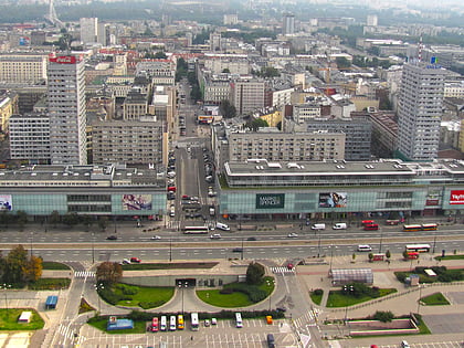
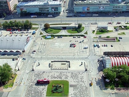
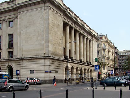
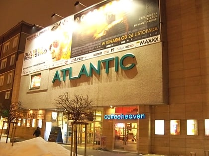
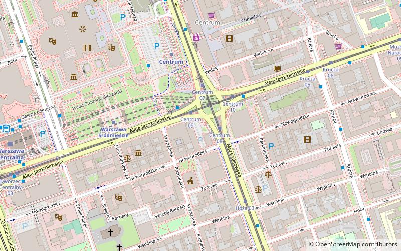
Marszałkowska is one of the main thoroughfares of Warsaw's city center. It links Bank Square in its north sector with Plac Unii Lubelskiej in the south. ()
Address
Ul. MarszałkowskaŚródmieścia (Śródmieście Południowe)Warsaw
ContactAdd
Social media
Add
Day trips
Marszałkowska Street – popular in the area (distance from the attraction)
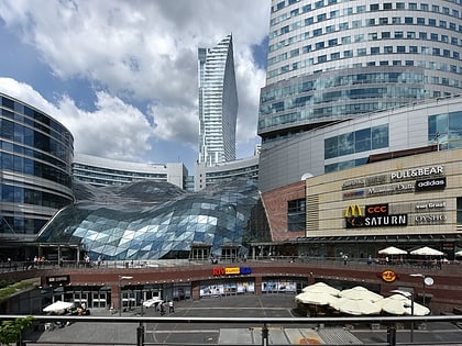
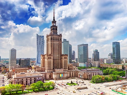
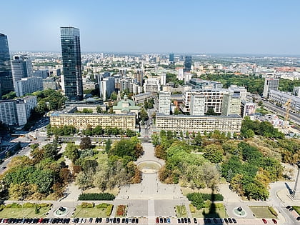
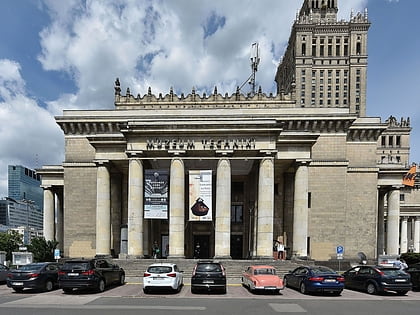
Nearby attractions include: Złote Tarasy, Palace of Culture and Science, Vitkac, Świętokrzyski Park.
Frequently Asked Questions (FAQ)
Which popular attractions are close to Marszałkowska Street?
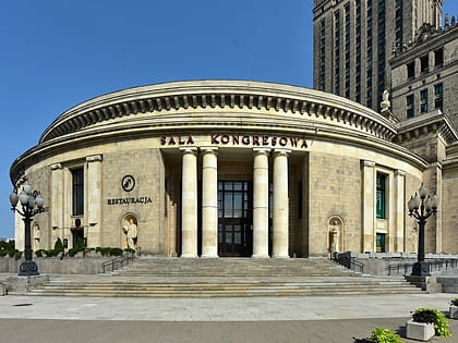
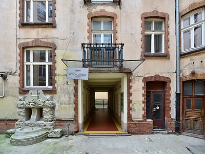
Nearby attractions include Jerusalem Avenue, Warsaw (2 min walk), Rotunda, Warsaw (3 min walk), Fotoplastikon, Warsaw (4 min walk), Teatr Muzyczny ROMA, Warsaw (6 min walk).
How to get to Marszałkowska Street by public transport?
The nearest stations to Marszałkowska Street:
Tram
Bus
Metro
Train
Tram
- Centrum 09 • Lines: 22, 24, 25, 7, 9 (1 min walk)
- Centrum 08 • Lines: 15, 18, 35, 4 (1 min walk)
Bus
- Centrum 01 • Lines: 131, 501, 519, 520, 522, 525, N25, N31, N37, N81 (1 min walk)
- Centrum 05 • Lines: 109, 117, 127, 128, 158, 171, 175, 507, 521, N22, N24, N33, N72, N83 (3 min walk)
Metro
- Centrum • Lines: M1 (4 min walk)
- Świętokrzyska • Lines: M1, M2 (12 min walk)
Train
- Warsaw City Center (5 min walk)
- Warsaw Central (9 min walk)

