Deravá / Łopata, Tatra National Park


Facts and practical information
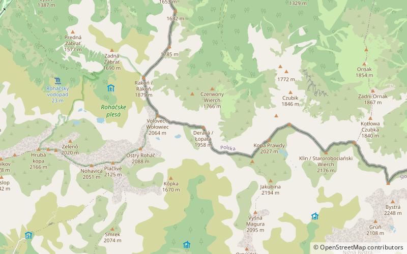
Shovel - a peak in the main ridge of the Western Tatras between Jarząbczym Wierch to the east and Wołowiec to the west. The origin of the name is unknown, it is not a folk name and was not used by shepherds.
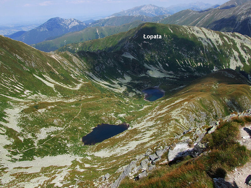
Łopata rises to a height of 1957 m above sea level and creates three ridges: the western towards Wołowiec - there is the Dziurawa Przełęcz, the south-eastern towards Jarząbczy Wierch from which Łopata is separated by the Niska Przełęcz, the northern, called the Red Wierch, which descends to the upper part of the Chochołowska Valley, dividing it into two valleys: Dolina Chochołowska Wyżnią on the western side of Łopata and Dolina Jarząbcza on the eastern side.
The main ridge, where Łopaty peak is located and where the Polish-Slovakian border runs, is undercut from the northern side with steep rock walls descending to the glacial kettles Dziurawe and Jarząbcza Rówień. At the foot of these walls there are scree cones. The southern slopes of this ridge, descending to the Jamnicka Valley, are more gentle and mostly grassy.
The slopes of the Czerwone Wierch are in the upper part partly grassy and partly covered with dwarf pine. The northern slopes called Hotarz are overgrown with natural forest.
From the top and south slopes of Lopata there are views of Rohace, Jamnickie Stawy, Chocholowska and Jamnicka dolina, Liptov and Nízke Tatry.
Tatra National Park
Deravá / Łopata – popular in the area (distance from the attraction)
Nearby attractions include: Trzydniowiański Wierch, Rakoń / Rákoň, Kopa Prawdy, Czerwony Wierch.


