Trek Zone

Czerwony Wierch, Tatra National Park

#141 among attractions in Tatra National Park

Nature, Mountain
Czerwony Wierch

Facts and practical information

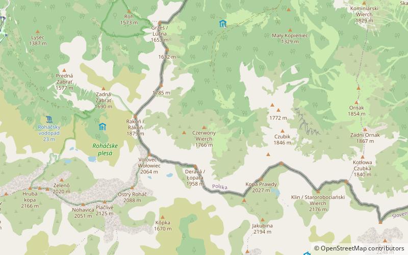
Czerwony Wierch - an elevation in the lateral, descending from the top to the Chochołowska Valley arm of the Łopata River in the Western Tatras. This arm separates the Jarząbcza Valley from the Chochołowska Valley Higher. Ridge and upper part of the slopes of Czerwone Wierch is grassy and overgrown with dwarf mountain pine. The northern slopes called Hotarz are overgrown with natural forest. On the east and north slopes gullies: Trojaki, Dwojaki, Skrajny Żleb, Pośredni Żleb and Mokrzyniec.

Alternative names: Coordinates: 49°12'49"N, 19°46'54"E
Address

Tatra National Park Poland

ContactAdd
Social media
Add

Tatra National Park plan & book

Unleash the traveler in you — discover the cheapest flight deals, find the perfect hotel or hostel nearby, and search for the best car rental prices. Travel at your own pace to discover new places and enjoy your journey.

Day trips

Czerwony Wierch – popular in the area (distance from the attraction)

Nearby attractions include: Končistá / Kończysty Wierch, Trzydniowiański Wierch, Rakoń / Rákoň, Kopa Prawdy.

  • koncista konczysty wierch tatra national park1.3 miSE
  • trzydniowianski wierch tatra national park1.1 miE
  • rakon rakon tatra national park1.1 miW
  • kopa prawdy tatra national park1.2 miSE
  • dlugi uplaz tatra national park1.3 miNW
  • derava lopata tatra national park0.6 miS
  • czubik tatra national park1.2 miE

Where to next? Visit lesser poland Lesser Poland region page or discover the top tourist attractions in Poland.