Gocławek, Warsaw
Map
Map

Facts and practical information
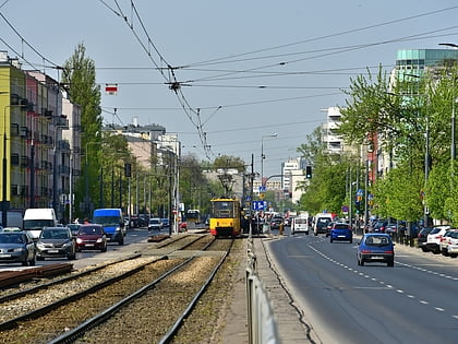
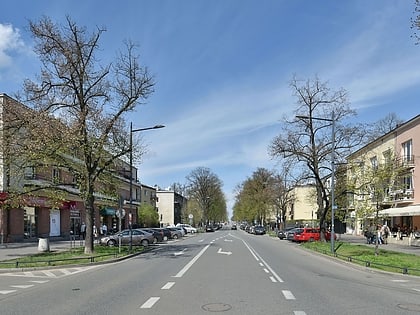
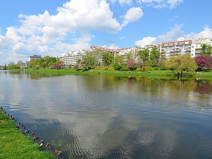
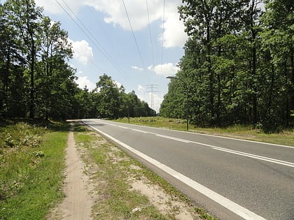
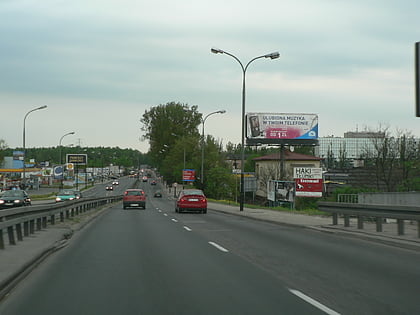
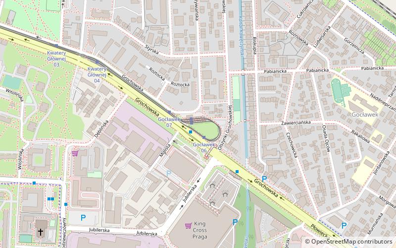
Gocławek is an officially designated neighbourhood within the Warsaw district of Praga Południe. It is located in the north-eastern part of Praga-Południe. ()
Address
Praga Południe (Gocławek)Warsaw
ContactAdd
Social media
Add
Day trips
Gocławek – popular in the area (distance from the attraction)
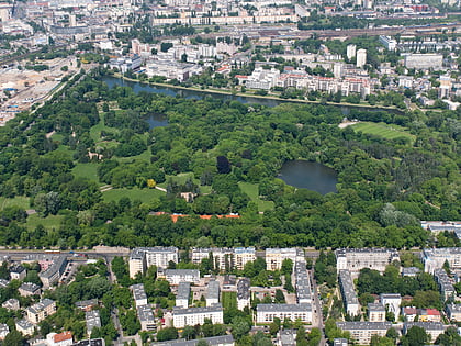
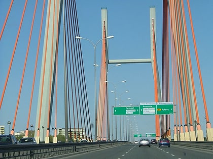
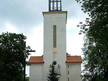
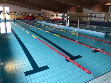
Nearby attractions include: Skaryszew Park, Most Siekierkowski, Parafia Św. Feliksa, Wesolandia.
Frequently Asked Questions (FAQ)
How to get to Gocławek by public transport?
The nearest stations to Gocławek:
Tram
Bus
Train
Tram
- Gocławek 05 • Lines: 3, 6 (1 min walk)
- Gocławek 04 • Lines: 9 (1 min walk)
Bus
- Gocławek 01 • Lines: 125, 142, 143, 145, 173, 183, 521, 702, 704, 720, 722, 730, N21, N24, N71 (1 min walk)
- Kwatery Głównej 02 • Lines: 125, 142, 143, 145, 173, 183, 702, 704, 720, 722, 730, N21, N24, N71 (6 min walk)
Train
- Warszawa Gocławek (18 min walk)
- Warszawa Olszynka Grochowska (25 min walk)

