Białołęka, Warsaw
Map
Gallery
Facts and practical information
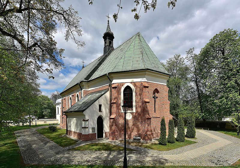
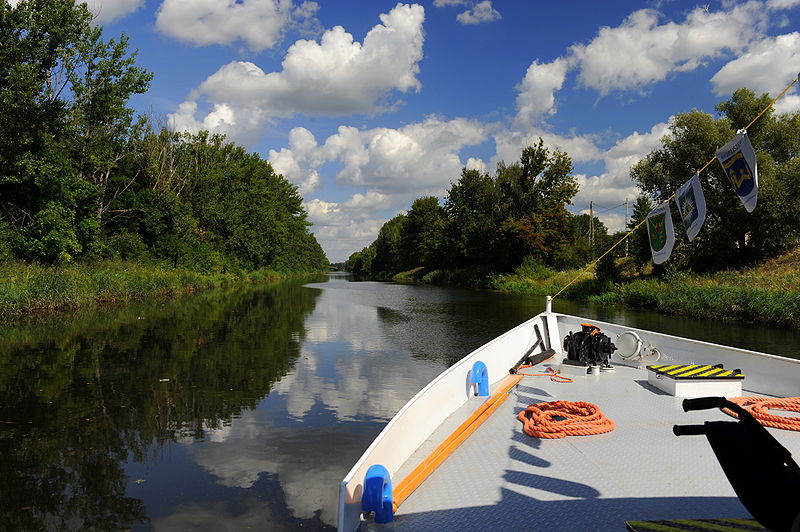
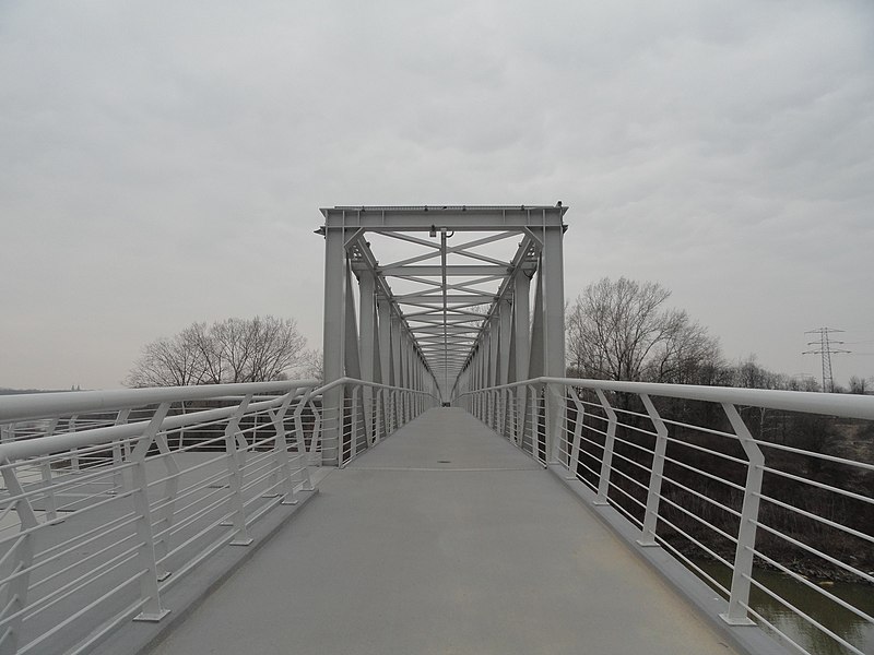
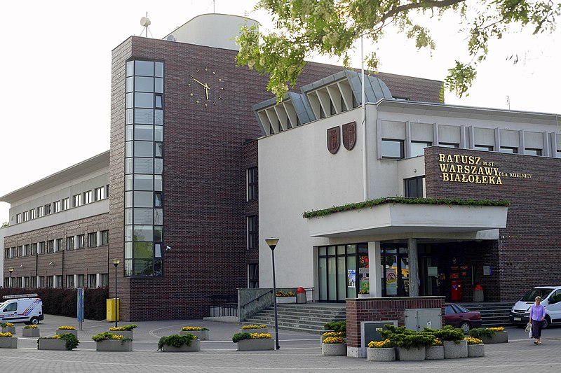
Białołęka is one of 18 districts of Warsaw, located in the northern part of the city. Until October 27, 2002 Białołęka was a gmina. The name Białołęka comes from a nobleman Białołęcki, who bought the area before the First World War. ()
Day trips
Białołęka – popular in the area (distance from the attraction)
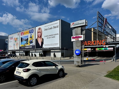
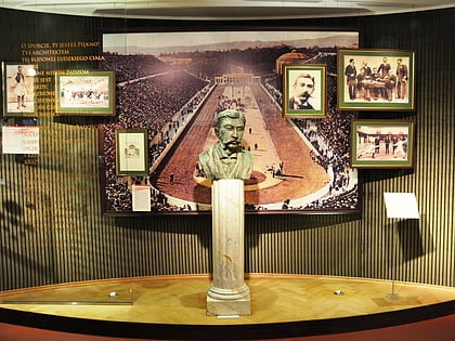
Nearby attractions include: Galeria Młociny, Atrium Targówek, Museum of Sport and Tourism, OSiR Żoliborz.
Frequently Asked Questions (FAQ)
How to get to Białołęka by public transport?
The nearest stations to Białołęka:
Bus
Train
Bus
- Areszt Śledczy Białołęka 02 • Lines: 152 (13 min walk)
- Białołęka Dworska 01 • Lines: 152 (14 min walk)
Train
- Warszawa Płudy (26 min walk)
- Warszawa Żerań (28 min walk)


