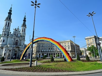
Wilcza Street, Warsaw
Map
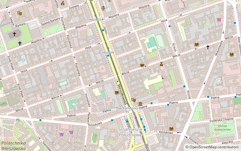
Map

Facts and practical information
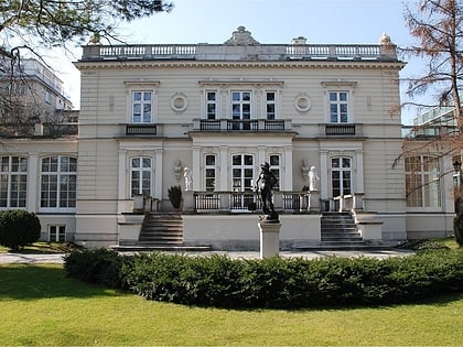
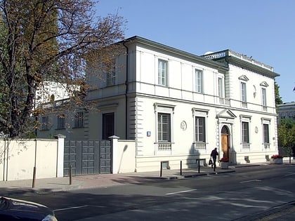
Wilcza is a street in Warsaw's city centre. It links Koszykowa Street in the south-eastern part of the borough with the Three Crosses Square at the Royal Route. Initially, at least since 14th century, the street was just a road running along by the fields belonging to the vogts of old Warsaw, much to the south of the city's limits. ()
Address
Śródmieścia (Śródmieście Południowe)Warsaw
ContactAdd
Social media
Add
Day trips
Wilcza Street – popular in the area (distance from the attraction)
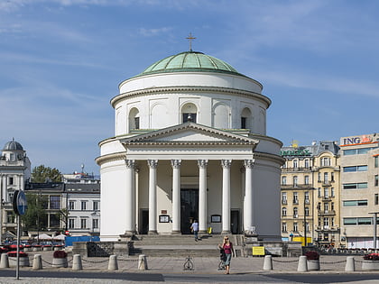
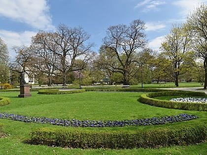
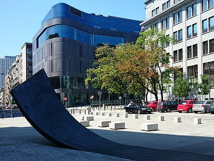
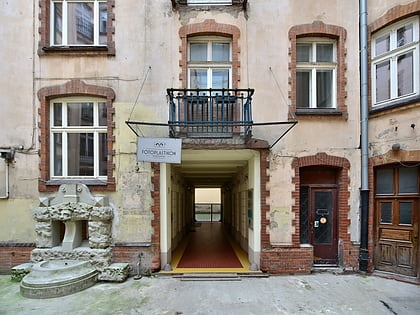
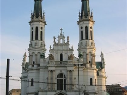
Nearby attractions include: St. Alexander's Church, Ujazdów Park, Vitkac, Fotoplastikon.
Frequently Asked Questions (FAQ)
Which popular attractions are close to Wilcza Street?
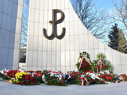
Nearby attractions include Polonia, Warsaw (3 min walk), The Music Sculpture, Warsaw (3 min walk), Constitution Square, Warsaw (4 min walk), Warsaw Public Library – Central Library of Masovian Voivodeship, Warsaw (6 min walk).
How to get to Wilcza Street by public transport?
The nearest stations to Wilcza Street:
Bus
Tram
Metro
Train
Bus
- Hoża 01 • Lines: 131, N25, N31, N37, N81 (2 min walk)
- Plac Konstytucji 04 • Lines: 118, 159 (4 min walk)
Tram
- Plac Konstytucji 05 • Lines: 15, 18, 35, 4 (3 min walk)
- Hoża 04 • Lines: 15, 18, 35, 4 (3 min walk)
Metro
- Politechnika • Lines: M1 (11 min walk)
- Centrum • Lines: M1 (13 min walk)
Train
- Warsaw City Center (12 min walk)
- Warsaw Central (15 min walk)

