Historic Centre of Guimarães, Guimarães
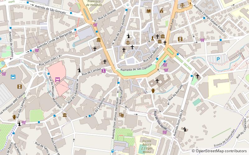
Map

Map

Facts and practical information
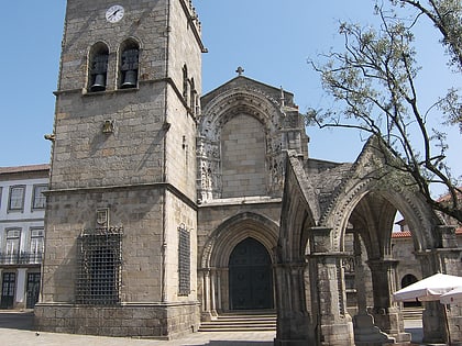
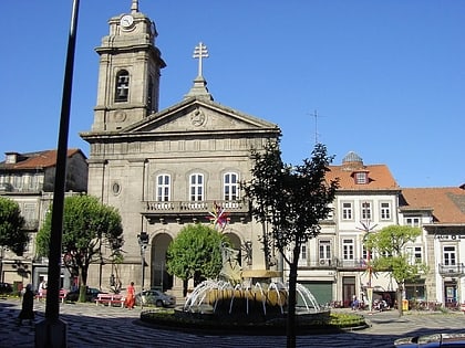
Historic Centre of Guimarães is an urban space of the city of Guimarães, in Portugal, tracing back to medieval age covering an area of 16 hectares and retaining many buildings from the medieval age until 19th century. Since 2001, it is declared as a World Heritage Site of UNESCO. ()
Local name: Centro Histórico de Guimarães Unesco: from 2001Area: 0.38 mi²Coordinates: 41°26'27"N, 8°17'41"W
Address
Guimarães
ContactAdd
Social media
Add
Day trips
Historic Centre of Guimarães – popular in the area (distance from the attraction)
Nearby attractions include: Paço dos Duques, Estádio Dom Afonso Henriques, Castelo de Guimarães, Church of São Miguel do Castelo.
Frequently Asked Questions (FAQ)
Which popular attractions are close to Historic Centre of Guimarães?
Nearby attractions include St. Peter's Basilica, Guimarães (3 min walk), Igreja de Nossa Senhora da Oliveira, Guimarães (5 min walk), Museu Alberto Sampaio, Guimarães (5 min walk), Igreja Matriz de São Martinho de Candoso, Guimarães (5 min walk).
How to get to Historic Centre of Guimarães by public transport?
The nearest stations to Historic Centre of Guimarães:
Bus
Train
Bus
- Toural • Lines: 71, Linha Cidade (1 min walk)
- Alameda Norte • Lines: 32 (4 min walk)
Train
- Guimarães (10 min walk)


