Algés, Lisbon
Map
Map

Facts and practical information
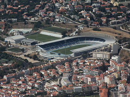
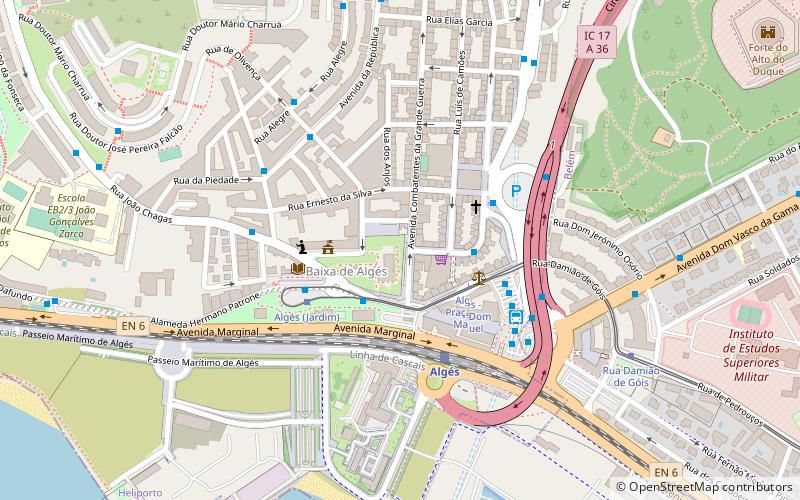
Algés is a former civil parish in the municipality of Oeiras, in Lisbon metropolitan area, Portugal. In 2013, the parish merged into the new parish Algés, Linda-a-Velha e Cruz Quebrada-Dafundo. The population in 2011 was 22,273, in an area of 1.98 km². The parish is located near the Tagus river, between the town of Oeiras and the capital city of Lisbon. It is also a part of the Greater Lisbon Area. It is mostly a residential suburb. ()
Address
Lisbon
ContactAdd
Social media
Add
Day trips
Algés – popular in the area (distance from the attraction)
Nearby attractions include: Belém Tower, Museu Coleção Berardo, National Archaeology Museum, Belém Cultural Center.
Frequently Asked Questions (FAQ)
Which popular attractions are close to Algés?
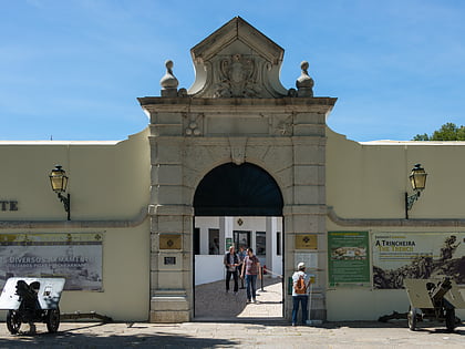
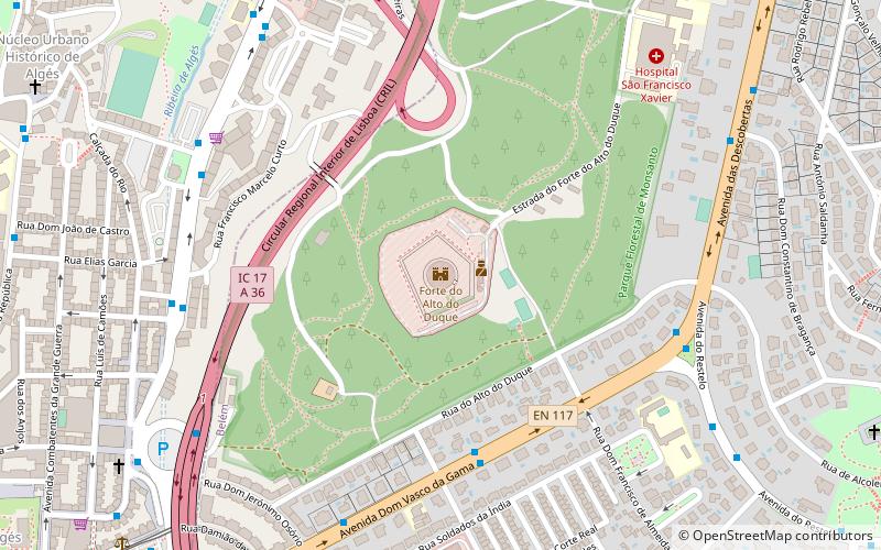
Nearby attractions include Torre VTS, Lisbon (13 min walk), Fort of Alto do Duque, Lisbon (13 min walk), Fort of Bom Sucesso, Lisbon (22 min walk), Monumento aos Combatentes do Ultramar, Lisbon (22 min walk).
How to get to Algés by public transport?
The nearest stations to Algés:
Bus
Tram
Train
Bus
- Palácio dos Anjos • Lines: 776 (2 min walk)
- Algés • Lines: 201, 750, 751, 776 (4 min walk)
Tram
- Algés - Praça Dom Manuel I • Lines: 15E (3 min walk)
- Algés • Lines: 15E (4 min walk)
Train
- Algés (4 min walk)

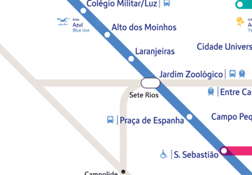 Metro
Metro


