Paul da Serra, Madeira Natural Park
Map

Map

Facts and practical information
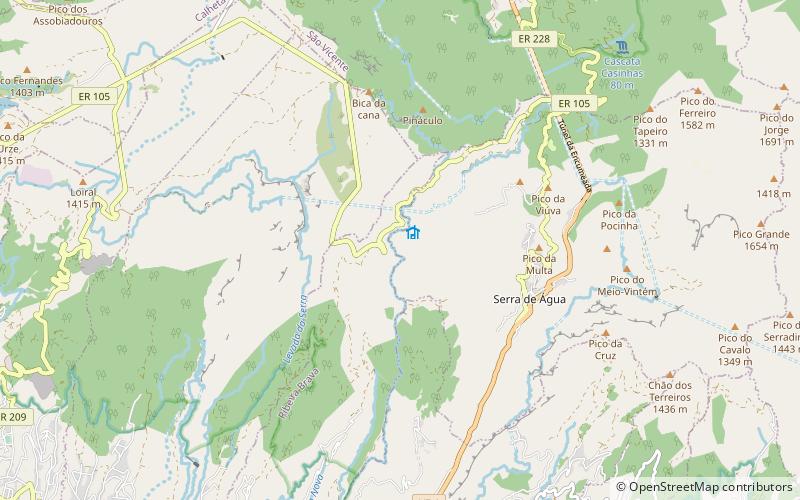
Paul da Serra in the municipal county of Ponta do Sol, Madeira, it is the largest and most extensive plateau of Madeira about 24 km2, with an altitude average of about 1,500 m. Its highest point is the peak pico do Paul at 1,640 m from where you can admire the length of the entire plateau. On days with good visibility, both the south and north coasts are visible. ()
Address
Madeira Natural Park
ContactAdd
Social media
Add
Day trips
Paul da Serra – popular in the area (distance from the attraction)
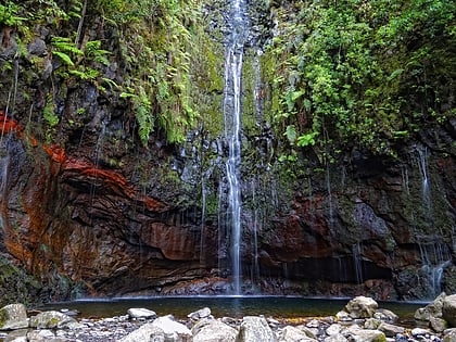
Nearby attractions include: 25 Fontes Falls, Levada das 25 Fontes, São Vicente Caves, Ribeira Brava Lighthouse.


