Almada, Lisbon
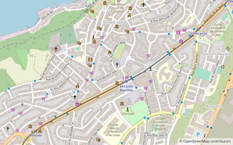
Map
Gallery
Facts and practical information
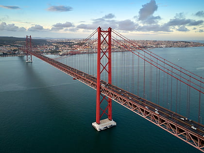
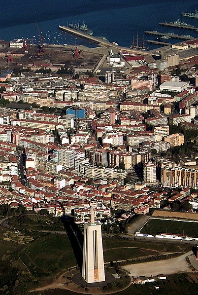
Almada is a city and a municipality in Portugal, located on the southern margin of the Tagus River, on the opposite side of the river from Lisbon. The two cities are connected by the 25 de Abril Bridge. The population in 2011 was 174,030, in an area of 70.21 km2. The urbanized center had a population of 101,500 in 2001. ()
Day trips
Almada – popular in the area (distance from the attraction)
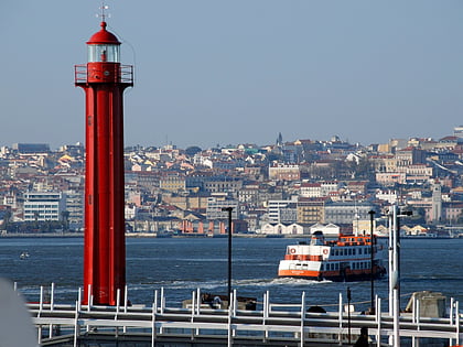
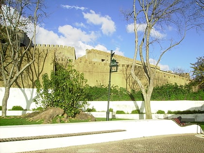
Nearby attractions include: Cristo Rei, 25 de Abril Bridge, Cacilhas Lighthouse, Castle of Almada.
Frequently Asked Questions (FAQ)
Which popular attractions are close to Almada?
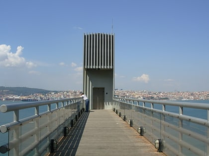
Nearby attractions include Palácio da Cerca, Lisbon (7 min walk), Boca do Vento Elevator, Lisbon (9 min walk), Castle of Almada, Lisbon (10 min walk), Cristo Rei, Lisbon (19 min walk).
How to get to Almada by public transport?
The nearest stations to Almada:
Light rail
Bus
Train
Ferry
Light rail
- São João Baptista • Lines: Linha 1, Linha 3 (2 min walk)
- Gil Vicente • Lines: Linha 1, Linha 3 (10 min walk)
Bus
- Almada • Lines: 152 (3 min walk)
- Praça Gil Vicente • Lines: 103 (10 min walk)
Train
- Terminal Ferroviário de Cacilhas (21 min walk)
- Pragal (38 min walk)
Ferry
- Cacilhas • Lines: Ferries da Transtejo (21 min walk)
 Metro
Metro
