Trek Zone

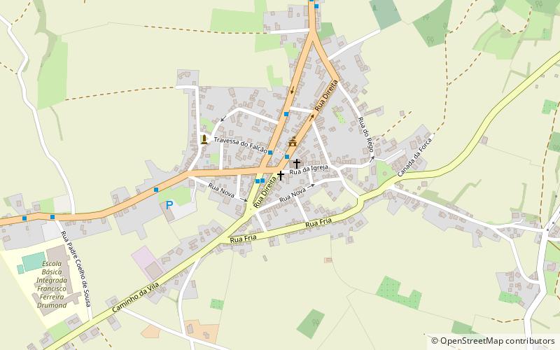
Igreja Mayor de São Sebastião, Terceira Island

#14 among attractions in Terceira Island

Sightseeing
Igreja Mayor de São Sebastião

Facts and practical information

Igreja Mayor de São Sebastião (address: EN1-2A 51) is a place located in Terceira Island (Azores autonomous region) and belongs to the category of sightseeing.

It is situated at an altitude of 509 feet, and its geographical coordinates are 38°39'55"N latitude and 27°5'27"W longitude.

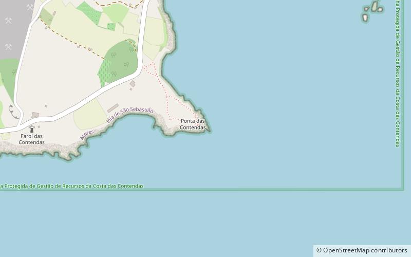
Among other places and attractions worth visiting in the area are: Forte de São Francisco, Angra do Heroísmo (forts and castles, 29 min walk), Lighthouse of Ponta das Contendas, Angra do Heroísmo (vernacular architecture, 33 min walk), Forte da Salga, Angra do Heroísmo (campsite, 34 min walk).

Coordinates: 38°39'55"N, 27°5'27"W
Address

EN1-2A 51Terceira Island 9700-627 Portugal

ContactAdd
Social media
Add

Terceira Island plan & book

Unleash the traveler in you — discover the cheapest flight deals, find the perfect hotel or hostel nearby, and search for the best car rental prices. Travel at your own pace to discover new places and enjoy your journey.

Day trips

Igreja Mayor de São Sebastião – popular in the area (distance from the attraction)

Nearby attractions include: Praia dos Oficiais, Clube de Golfe da Ilha Terceira, Gruta das Agulhas, Cabras Islets.

  • praia dos oficiais praia da vitoria4.9 miNE
  • clube de golfe da ilha terceira praia da vitoria6 miNW
  • gruta das agulhas terceira island1.7 miSW
  • cabras islets3.7 miSW
  • lighthouse of ponta das contendas angra do heroismo1.3 miS
  • praia da riviera3.8 miNE
  • forte de santo antonio angra do heroismo2 miSW
  • gruta brisa azul3.9 miSW
  • fort of the espirito santo praia da vitoria5.1 miNE
  • fort of greta angra do heroismo location map
    1.7 miSE
  • furna de agua terceira island location map
    5.3 miNW

Where to next? Visit azores Azores region page or discover the top tourist attractions in Portugal.