Cerro El Bolo

Map
Facts and practical information
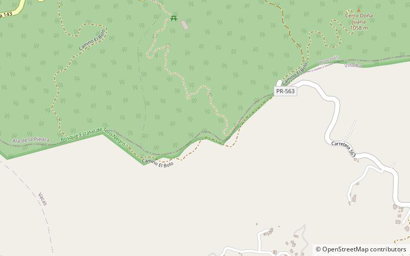
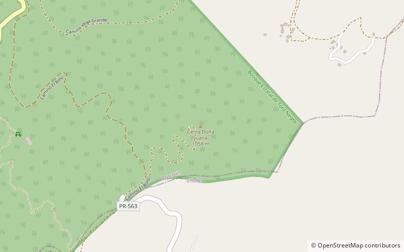
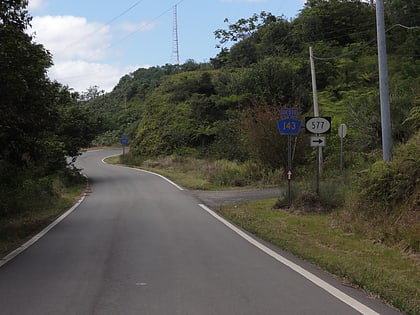
Cerro El Bolo is the highest peak in the municipality of Villalba, Puerto Rico, raising to 1,075 meters above sea level. It is part of the Toro Negro State Forest, and is the 10th tallest mountain in Puerto Rico. ()
Elevation: 3527 ftProminence: 3527 ftCoordinates: 18°10'2"N, 66°29'13"W
Location
Orocovis
ContactAdd
Social media
Add
Day trips
Cerro El Bolo – popular in the area (distance from the attraction)
Nearby attractions include: Cerro Doña Juana, Cerro Maravilla, Toro Negro State Forest, Puerto Rican moist forests.


