Villalba
Map
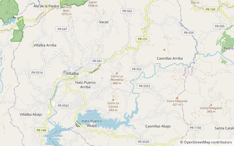
Map

Facts and practical information
Villalba, originally known as Villa Alba, is town and municipality of Puerto Rico located in the central region, northeast of Juana Díaz; south of Orocovis; and west of Coamo. Villalba is spread over 6 barrios and Villalba Pueblo. It is part of the Ponce Metropolitan Statistical Area. ()
Location
Region: Villalba
ContactAdd
Social media
Add
Day trips
Villalba – popular in the area (distance from the attraction)
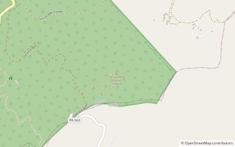
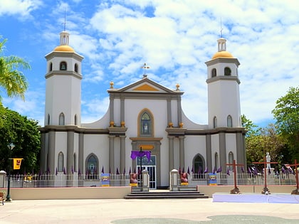
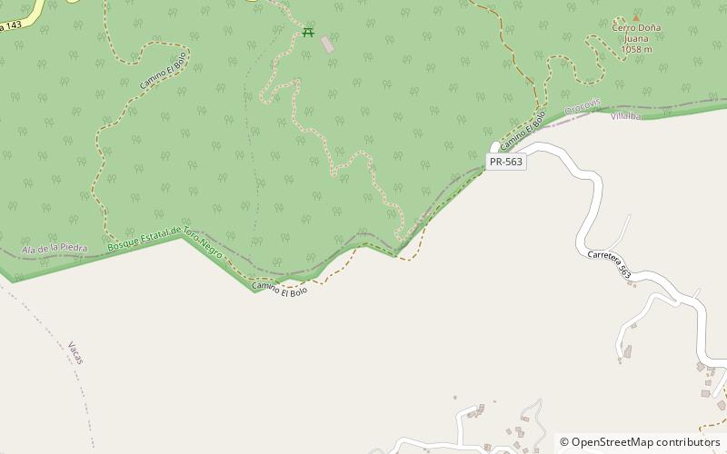
Nearby attractions include: Cerro Doña Juana, Iglesia San Ramón Nonato, Toro Negro State Forest, Cerro El Bolo.

