Piñones State Forest, San Juan

Gallery (1)
Map
Map
Facts and practical information
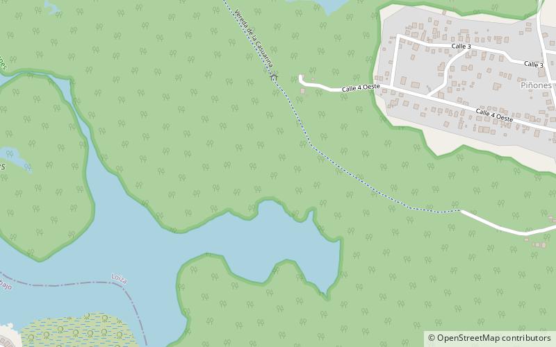
Piñones State Forest, and named after the Casuarina, locally called Piñones, is a timberland forest near one of the longest beaches in Puerto Rico. It is located in Torrecilla Baja barrio in the municipality of Loíza. It is a tourist attraction and is managed by the Puerto Rico Department of Natural and Environmental Resources. ()
Address
San Juan
ContactAdd
Social media
Add
Day trips