Réunion hotspot
#37 among destinations in Reunion


Facts and practical information
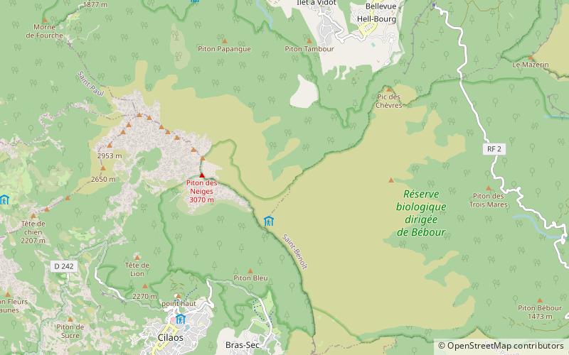
The Réunion hotspot is a volcanic hotspot which currently lies under the island of Réunion in the Indian Ocean. The Chagos-Laccadive Ridge and the southern part of the Mascarene Plateau are volcanic traces of the Réunion hotspot. ()
Saint-BenoîtReunion
Réunion hotspot – popular in the area (distance from the attraction)
Nearby attractions include: Piton des Neiges, Bridal Veil Falls, Trou de Fer, L'Âme de la France.
 Volcano, Natural attraction, Mountain
Piton des Neiges
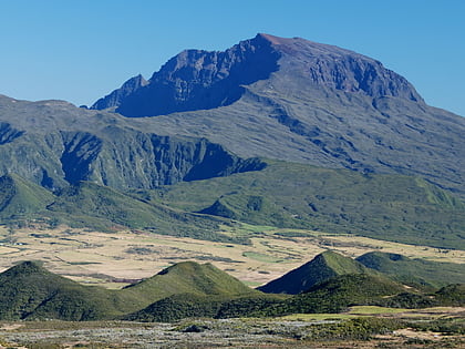
33 min walk • Piton des Neiges is an awe-inspiring natural landmark and the highest point on Réunion Island, a French territory located in the Indian Ocean. This dormant volcano soars to an altitude of 3,070 meters (10,069 feet) and is a central feature of the island's dramatic...
 Nature, Natural attraction, Waterfall
Bridal Veil Falls, Saint-André
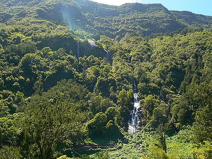
123 min walk • The Bridal Veil Falls is a waterfall on the island of Réunion. Located at about 500 m altitude along the mountainous rampart that separates the cirque Salazie and the plateau forest Bélouve, it falls within the territory of the commune of Salazie on the island of Réunion.
 Nature, Canyon, Natural attraction
Trou de Fer
141 min walk • Nestled within the rugged heart of Réunion Island, Trou de Fer is a breathtaking and formidable canyon that offers a glimpse into the raw power of nature's artistry. This geological wonder, carved out by the relentless force of water over millennia, stands as one of...
 Monuments and statues
L'Âme de la France
72 min walk • L'Âme de la France in Reunion is a monument that pays tribute to the cultural and historical heritage of France on this island part of the territory. Reunion, a French overseas department located in the Indian Ocean, is a place where the history and culture of France...
 Nature, Natural attraction, Mountain
Grand Bénare
131 min walk • The Grand Bénare is a volcanic peak on the island of Réunion, located in the Western part of the island, overlooking the "Cirque de Mafate" and "Cirque de Cilaos". It is the third highest peak on the island, after the Piton des Neiges and the Gros Morne.
 Volcano
Mafate
154 min walk • The Cirque de Mafate is a caldera on Réunion Island. It was formed from the collapse of the large shield volcano the Piton des Neiges.

3.5 miS , Protected area, NatureRéunion National Park
88 min walk • Réunion National Park, a crown jewel of the Indian Ocean, is a protected area that encapsulates the heart of Reunion Island's natural splendor. Designated as a national park in 2007, this haven of biodiversity spans over 1,000 square kilometers, covering approximately...
 Nature, Natural attraction, Mountain
Gros Morne
59 min walk • The Gros Morne is a volcanic peak on the island of Réunion, located to the north of the town of Cilaos. Lying just to the west of its slightly taller neighbour, the Piton des Neiges, the Gros Morne rises to a height of 3019 metres.
 Historical place, Museum
Villa Folio
69 min walk • The villa Folio, or Folio house, is a villa of the island of Reunion, French overseas department in the southwest Indian Ocean. It is located in the center of Hell-Bourg, an islet of the natural cirque of Salazie on the territory of the commune ...
 Cave
CaveMussard cave
21 min walk • The Mussard cave is a mountain cave on the island of Réunion. Located about 2150 meters above sea level in the heart of the Piton des Neiges, it falls within the municipality of Saint-Benoit.
 Town
TownCilaos
80 min walk • Cilaos is a town and commune on the French island of Réunion in the Indian Ocean. It is located centrally on the island, in a caldera of altitude 1,214 m. The caldera is also named for the community.
