Covered Staircase, Sighișoara
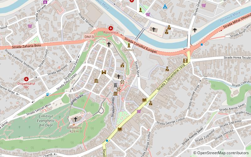
Map
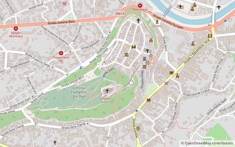
Map

Facts and practical information
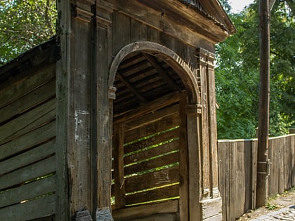
Covered Staircase (address: Str. Scara Școlarilor) is a place located in Sighișoara (Mureș county) and belongs to the category of historical place.
It is situated at an altitude of 1316 feet, and its geographical coordinates are 46°13'7"N latitude and 24°47'29"E longitude.
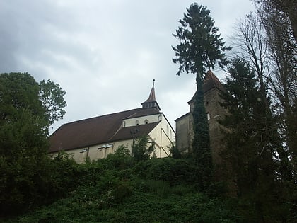
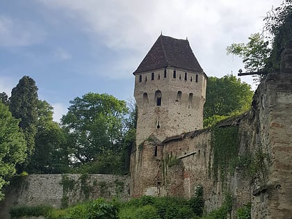
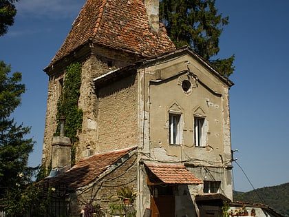
Among other places and attractions worth visiting in the area are: Tin Smiths' Tower (museum, 1 min walk), The Hill Church (church, 2 min walk), Rope Makers' Tower (observation decks and towers, 3 min walk).
Coordinates: 46°13'7"N, 24°47'29"E
Address
Str. Scara ȘcolarilorSighișoara
ContactAdd
Social media
Add
Day trips
Covered Staircase – popular in the area (distance from the attraction)
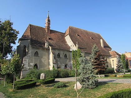
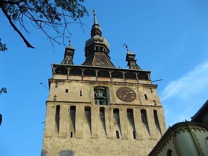
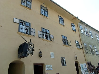
Nearby attractions include: Monastery Church, Iron Smiths' Tower, Clock Tower, Sighișoara Citadel.
Frequently Asked Questions (FAQ)
Which popular attractions are close to Covered Staircase?
Nearby attractions include Tin Smiths' Tower, Sighișoara (1 min walk), The Hill Church, Sighișoara (2 min walk), Rope Makers' Tower, Sighișoara (3 min walk), Sighișoara Citadel, Sighișoara (3 min walk).
