Călțun

Gallery (2)
Map
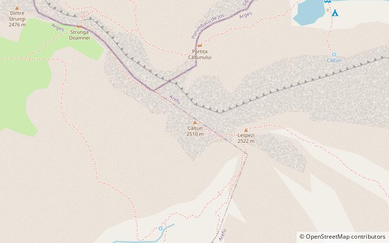
Map
Gallery
Facts and practical information
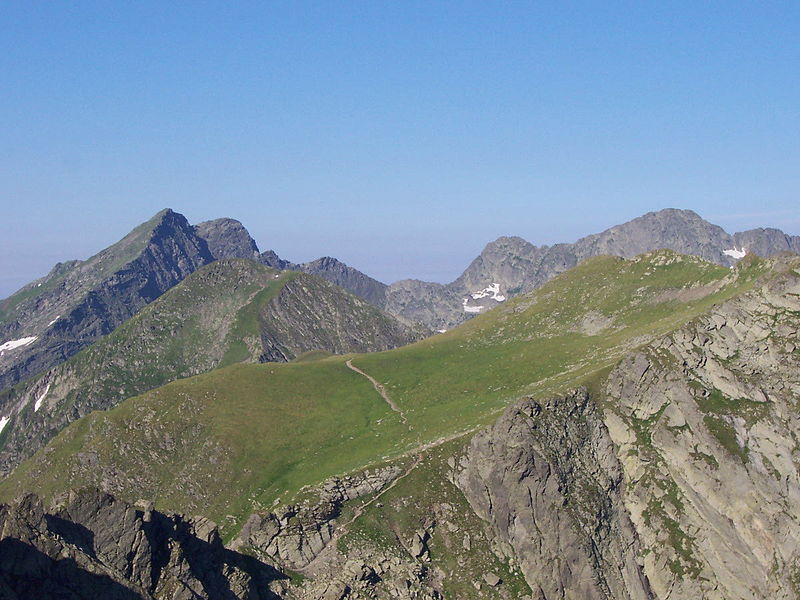
Călțun is a place located in Romania and belongs to the category of natural attraction, nature, mountain.
It is situated at an altitude of 7972 feet, and its geographical coordinates are 45°34'42"N latitude and 24°34'4"E longitude.
Among other places and attractions worth visiting in the area are: Lespezi Mountain (natural attraction, 3 min walk), Negoiu Peak (natural attraction, 17 min walk), Șerbotă (natural attraction, 38 min walk).
Coordinates: 45°34'42"N, 24°34'4"E
Location
Argeș
ContactAdd
Social media
Add
Day trips


