Arutela
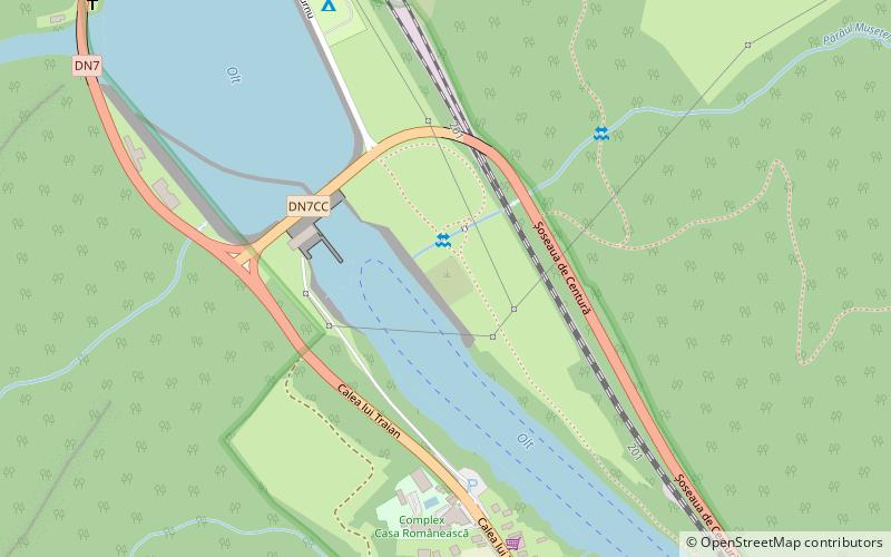
Map
Facts and practical information
The Roman castra Arutela is a historical monument, situated between Paușa and Căciulata, near the town Călimănești. It is estimated to have been constructed between 137 – 138 A.D. The building lies on the left bank of the Olt River, nearby the Cozia Monastery and the Turnu hydropower complex. ()
Coordinates: 45°16'35"N, 24°18'45"E
Day trips