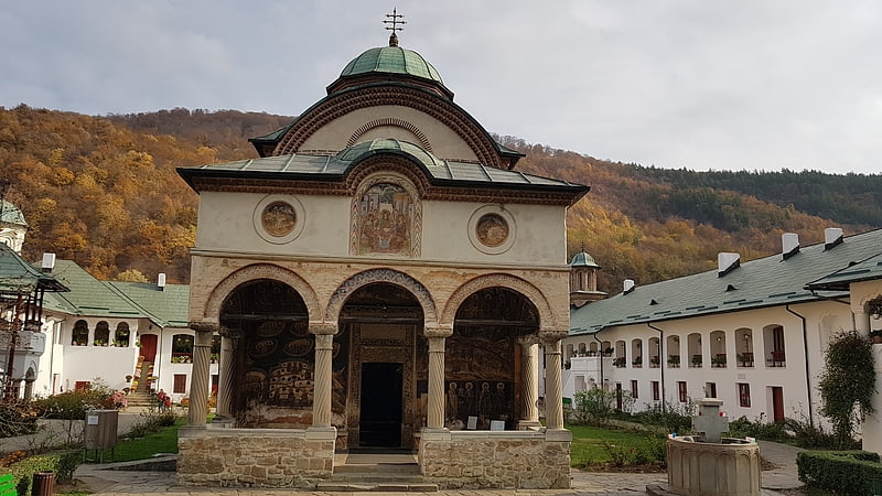
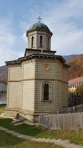
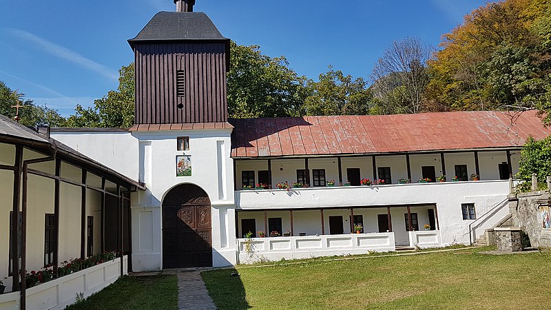
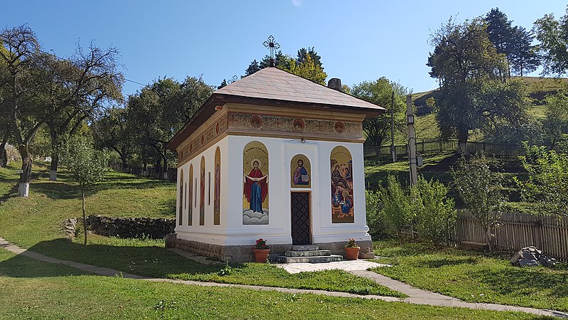
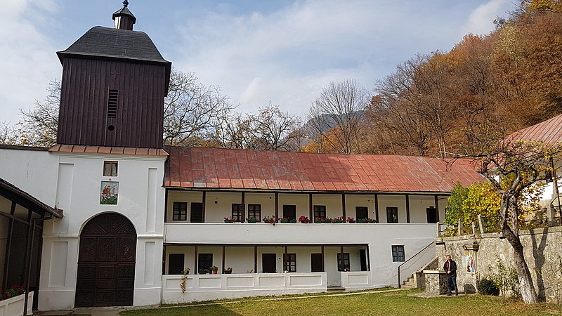
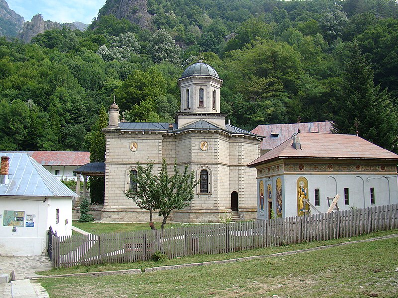
Stănișoara Monastery, Călimănești

Gallery (7)
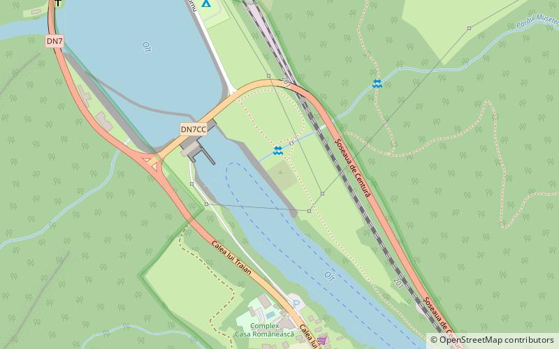
Map

Map

Gallery
Facts and practical information
Stănișoara Monastery is a place located in Călimănești (Vâlcea county) and belongs to the category of monastery, orthodoxy.
It is situated at an altitude of 2395 feet, and its geographical coordinates are 45°18'7"N latitude and 24°20'18"E longitude.
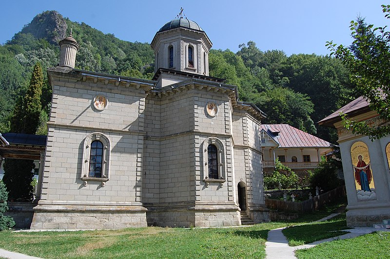
Among other places and attractions worth visiting in the area are: Turnu Monastery (monastery, 45 min walk), Arutela (archaeological site, 56 min walk), Cozia Monastery (museum, 60 min walk).
Coordinates: 45°18'7"N, 24°20'18"E
Address
Călimănești
ContactAdd
Social media
Add
Day trips