Castra of Costești
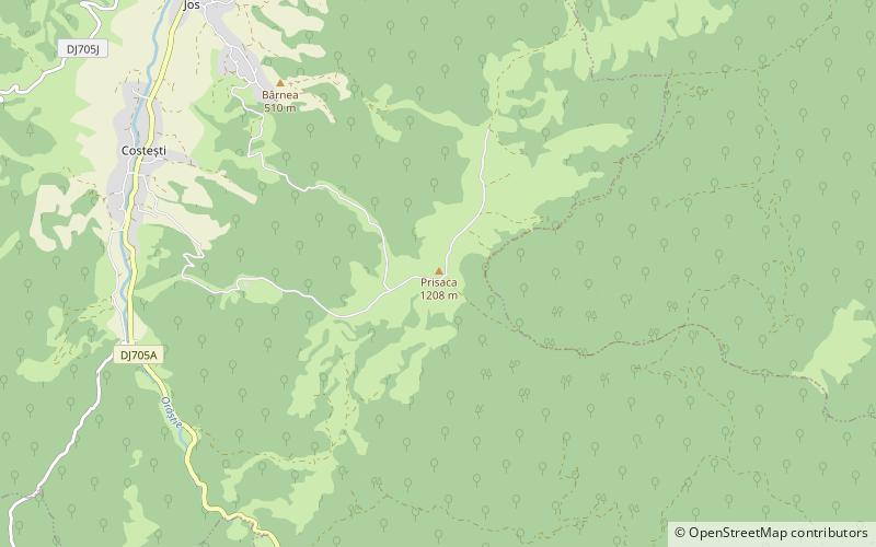
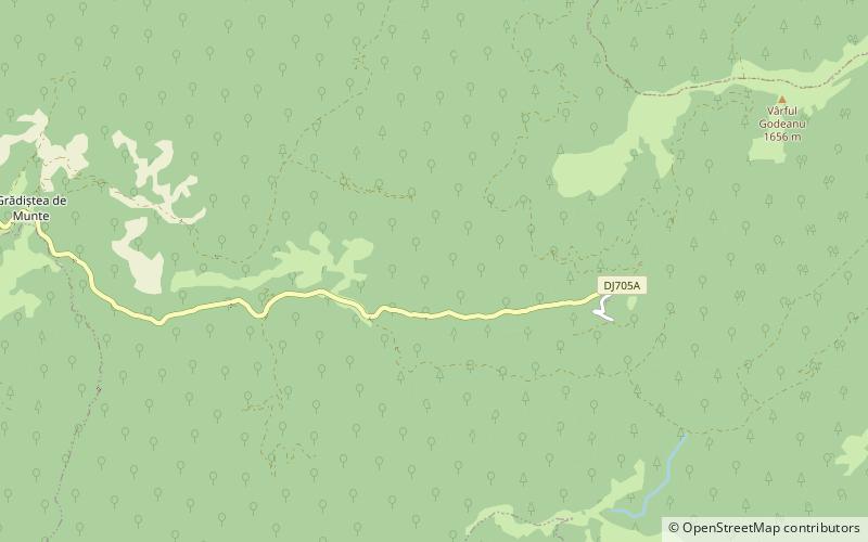
Map
Facts and practical information
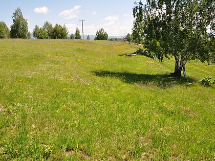
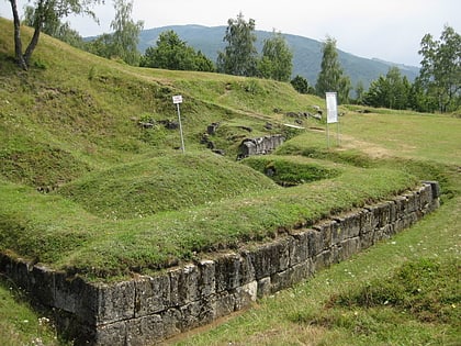
The castra of Costești was a fort in the Roman province of Dacia. Erected and abandoned by the Romans at an uncertain date, its ruins are located in Costești on a hilltop, at an altitude of 1203 meters. ()
Local name: Castrul roman de la CosteștiCoordinates: 45°41'15"N, 23°12'36"E
Location
Hunedoara
ContactAdd
Social media
Add
Day trips
Castra of Costești – popular in the area (distance from the attraction)
Nearby attractions include: Sarmizegetusa Regia, Costești-Blidaru Dacian fortress, Castra of Târsa, Dacian Fortresses of the Orăștie Mountains.


