Castra of Târsa
Map
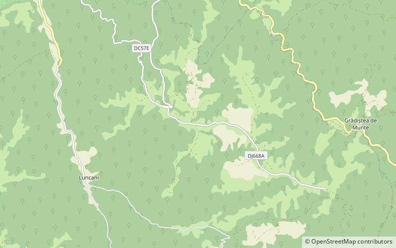
Map

Facts and practical information
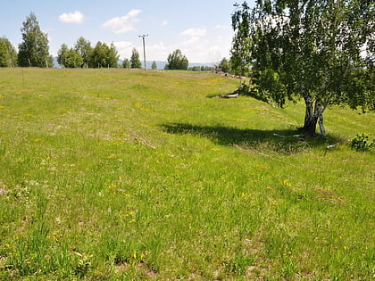
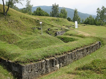
The castra of Târsa was a temporary fort erected by the Romans during the Trajan's Dacian Wars. ()
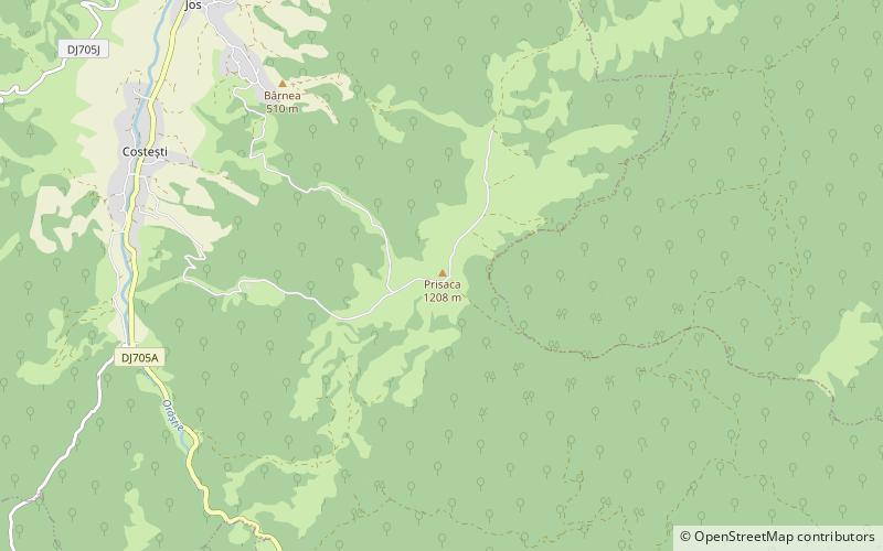
Coordinates: 45°37'59"N, 23°9'32"E
Location
Hunedoara
ContactAdd
Social media
Add
Day trips
Castra of Târsa – popular in the area (distance from the attraction)
Nearby attractions include: Costești-Blidaru Dacian fortress, Costești-Cetățuie Dacian fortress, Piatra Roșie Dacian fortress, Castra of Costești.
