Ciarda Roșie, Timișoara
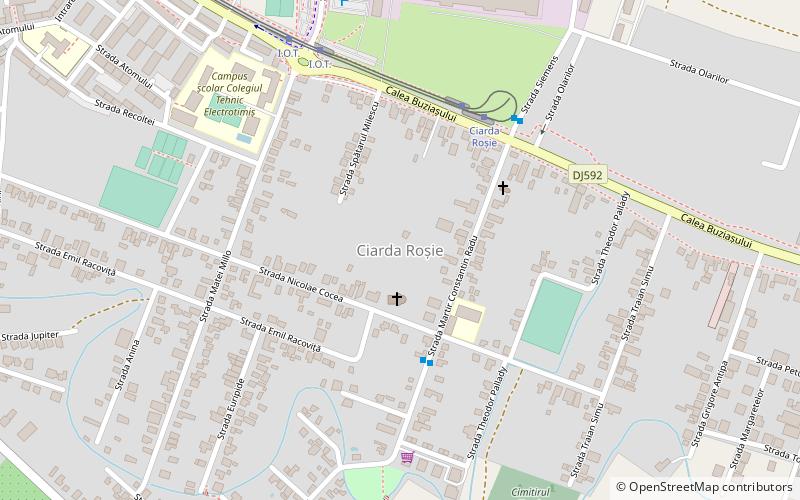
Map
Facts and practical information
Ciarda Roșie is a district in southeastern Timișoara. In its beginnings, Ciarda Roșie was a Hungarian village that was formed in the interwar period around the Vörös Csárda inn; later, this name was assigned to the entire district. ()
Address
Timișoara
ContactAdd
Social media
Add
Day trips
Ciarda Roșie – popular in the area (distance from the attraction)
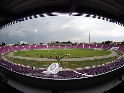
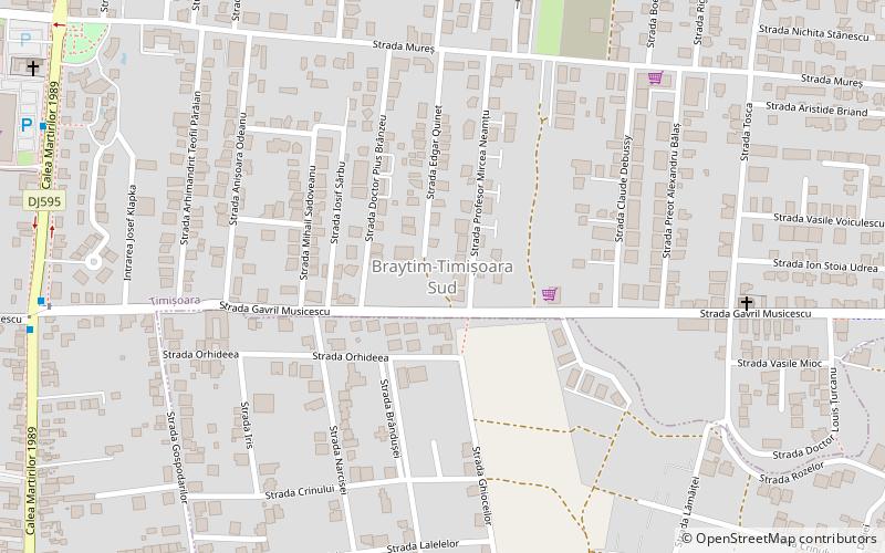
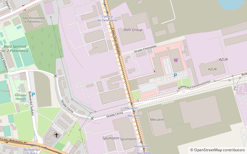
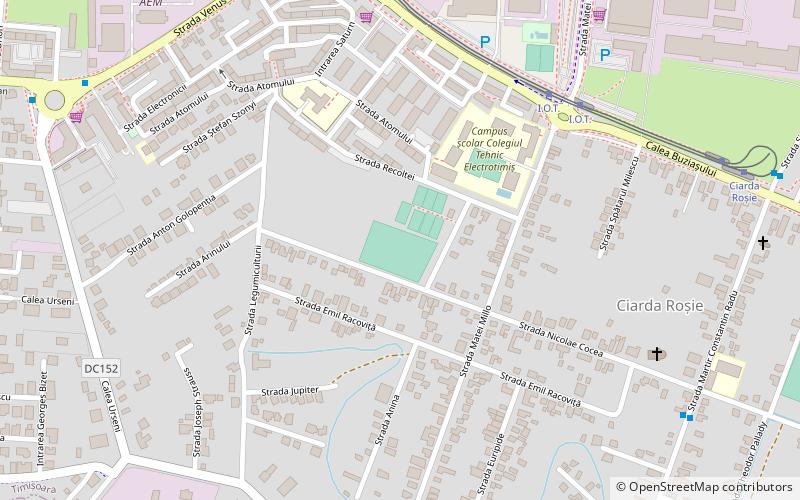
Nearby attractions include: Stadionul Dan Păltinișanu, Braytim, Kuncz, Stadionul Ciarda Roșie.
Frequently Asked Questions (FAQ)
How to get to Ciarda Roșie by public transport?
The nearest stations to Ciarda Roșie:
Bus
Tram
Bus
- Martir Constantin Radu • Lines: M22 (4 min walk)
- Siemens • Lines: M22 (5 min walk)
Tram
- Ciarda Roșie • Lines: 4, 8, 9 (5 min walk)
- I.o.t. • Lines: 4, 8, 9 (6 min walk)
