Mehala, Timișoara
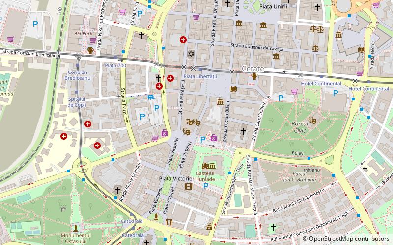
Map
Facts and practical information
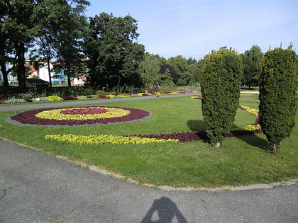
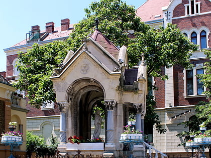
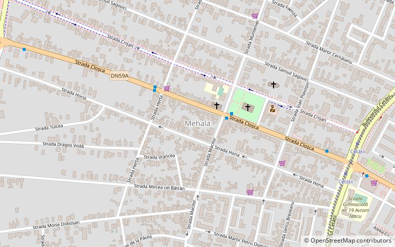
Mehala is a district of Timișoara. Mehala evolved from a slum-like village to a neighborhood of houses, villas and many gardens. It is one of the oldest satellite villages of Timișoara and was built in the higher part of the city, west of Palanca Mare. It officially became part of the city in 1910. ()
Address
Timișoara
ContactAdd
Social media
Add
Day trips
Mehala – popular in the area (distance from the attraction)
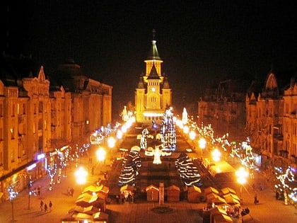
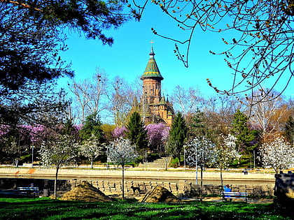
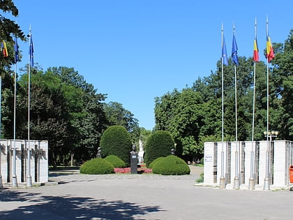
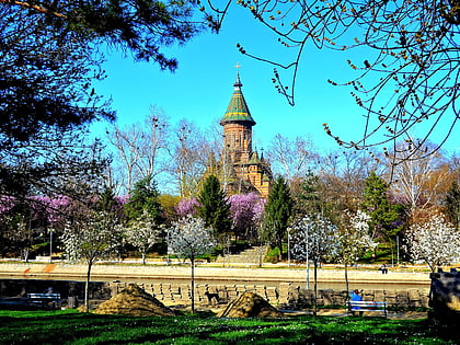
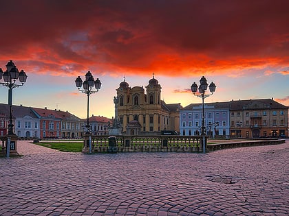
Nearby attractions include: Victory Square, Timișoara Orthodox Cathedral, Anton Scudier Central Park, Cathedral Park.
Frequently Asked Questions (FAQ)
Which popular attractions are close to Mehala?
Nearby attractions include Circumvalațiunii, Timișoara (12 min walk), Blașcovici, Timișoara (14 min walk), Torontalului, Timișoara (16 min walk), Tipografilor, Timișoara (16 min walk).
How to get to Mehala by public transport?
The nearest stations to Mehala:
Bus
Tram
Trolleybus
Train
Ferry
Bus
- Piața Avram Iancu • Lines: 13 (2 min walk)
- Vuk Karadjic • Lines: 13 (3 min walk)
Tram
- Cetății • Lines: 4, 7 (9 min walk)
- Amforei • Lines: 4, 7 (12 min walk)
Trolleybus
- Calea Torontalului • Lines: 18 (21 min walk)
- Miresei • Lines: 18 (22 min walk)
Train
- Timișoara Nord (24 min walk)
Ferry
- Sfânta Maria • Lines: V1 (33 min walk)
- Catedrala Mitropolitană • Lines: V1 (38 min walk)
