Blașcovici, Timișoara
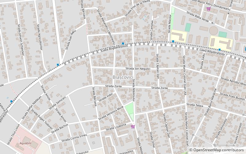
Map
Facts and practical information
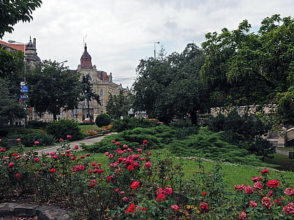
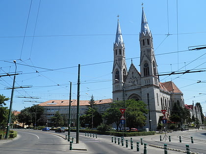
Blașcovici is a district of Timișoara. At the beginning of the 20th century, Blașcovici was a colony of Mehala. Before that, a wealthy family of Catholic priests lived here. It is said that they had a house somewhere near the former headquarters of the Traffic Police, from where, so far as Ronaț, the garden of their domain stretched. The parcelling of the area began around 1900; the first streets in the district appeared on the place of the former garden. ()
Coordinates: 45°45'26"N, 21°12'1"E
Address
Timișoara
ContactAdd
Social media
Add
Day trips
Blașcovici – popular in the area (distance from the attraction)
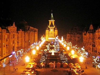
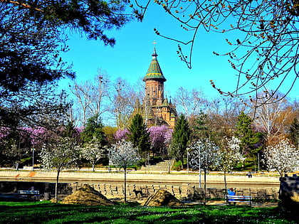
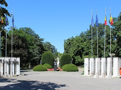
Nearby attractions include: Victory Square, Timișoara Orthodox Cathedral, Anton Scudier Central Park, Cathedral Park.
Frequently Asked Questions (FAQ)
Which popular attractions are close to Blașcovici?
Nearby attractions include Mehala, Timișoara (14 min walk), Circumvalațiunii, Timișoara (16 min walk), Tipografilor, Timișoara (20 min walk), Iosefin, Timișoara (22 min walk).
How to get to Blașcovici by public transport?
The nearest stations to Blașcovici:
Tram
Bus
Trolleybus
Train
Ferry
Tram
- Balta Verde • Lines: 4, 5, 7 (12 min walk)
- North Railway Station • Lines: 1, 8, 9 (15 min walk)
Bus
- Autogara Super Imposer (14 min walk)
- Pop de Băsești • Lines: 3, E1 (14 min walk)
Trolleybus
- Pop de Băsești • Lines: 11, 14, 18, M11, M14 (14 min walk)
- Gheorghe Barițiu • Lines: 11, 14, M11, M14 (15 min walk)
Train
- Timișoara Nord (15 min walk)
Ferry
- Ștefan cel Mare • Lines: V1 (21 min walk)
- Constantin Brâncoveanu • Lines: V1 (27 min walk)
