Lakhtinsky Razliv, Saint Petersburg
Map

Map

Facts and practical information
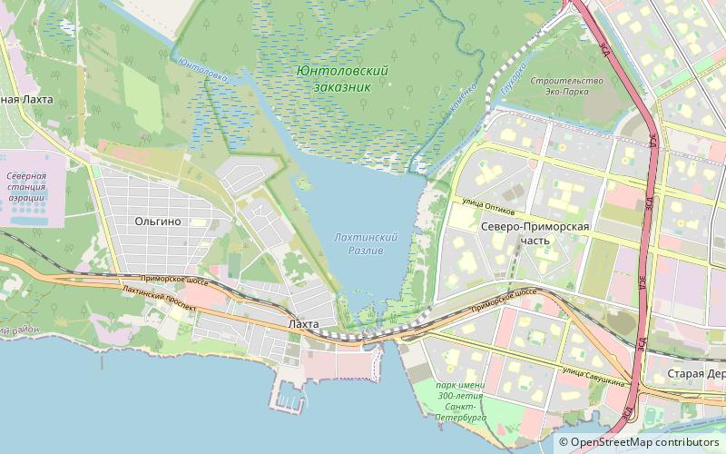
Lake Lakhta is a lake in St. Petersburg's Primorsky District connected to the Neva Bay of the Baltic Sea by the 500-meter-long Bobylka River. ()
Local name: Лахтинский Разлив Length: 3.73 miWidth: 2.49 miMaximum depth: 27 ftElevation: 3 ft a.s.l.Coordinates: 60°0'1"N, 30°10'43"E
Address
Saint Petersburg
ContactAdd
Social media
Add
Day trips
Lakhtinsky Razliv – popular in the area (distance from the attraction)
Nearby attractions include: Sibur Arena, Yelagin Palace, Datsan Gunzechoinei, Serafimovskoe Cemetery.
Frequently Asked Questions (FAQ)
How to get to Lakhtinsky Razliv by public transport?
The nearest stations to Lakhtinsky Razliv:
Bus
Trolleybus
Tram
Train
Metro
Bus
- Лахтинский разлив • Lines: 125, 126, 154А, 172 (14 min walk)
- Шуваловский проспект, 88 • Lines: 125, 126, 154А, 172 (15 min walk)
Trolleybus
- улица Оптиков • Lines: 23 (17 min walk)
Tram
- Лахтинский разлив • Lines: 19, 48 (23 min walk)
- станция метро Беговая • Lines: 19, 48 (31 min walk)
Train
- Лахта (25 min walk)
Metro
- Беговая • Lines: 3 (31 min walk)

 Metro
Metro


