Passenger Port of St. Petersburg, Saint Petersburg
Map

Map

Facts and practical information
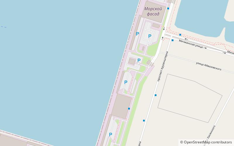
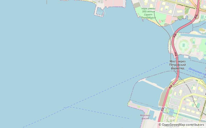
The Passenger Port of St. Petersburg is a passenger port in Saint Petersburg, Russia. It was completed on 27 May 2011 and was officially handed over to the city government. It is located on reclaimed alluvial territories of the Marine Facade of Vasilevsky island fronting the Gulf of Finland on the Baltic Sea. ()
Day trips
Passenger Port of St. Petersburg – popular in the area (distance from the attraction)
Nearby attractions include: Sibur Arena, Erarta Galleries, Erarta, Smolensky Cemetery.
Frequently Asked Questions (FAQ)
How to get to Passenger Port of St. Petersburg by public transport?
The nearest stations to Passenger Port of St. Petersburg:
Bus
Trolleybus
Bus
- Морской вокзал 2 • Lines: 158 (3 min walk)
- Пассажирский порт Морской фасад • Lines: 158 (5 min walk)
Trolleybus
- Мичманская улица • Lines: 11, 9 (20 min walk)
- Боцманская улица • Lines: 11, 9 (21 min walk)

 Metro
Metro


